They tried to tame a horse. They exploited it for decades. Finally, the horse won.
The Himālayas were trending on twitter sometime back as they were visible from Jalandhar at Punjab, 200km away from them, after some 30 years — thanks to lower pollution levels achieved by a lockdown to contain the spread of COVID-19. Along with this, The rivers like Gaṃgā, Yamunā and Vṛṣabhāvati are flowing clean. These incidents clearly show the sevearity of pollution done by us, and, the magical healing capacity of nature. In this post, we shall explore a similar nature-cleaning phonomenon happening in the west coast of India.
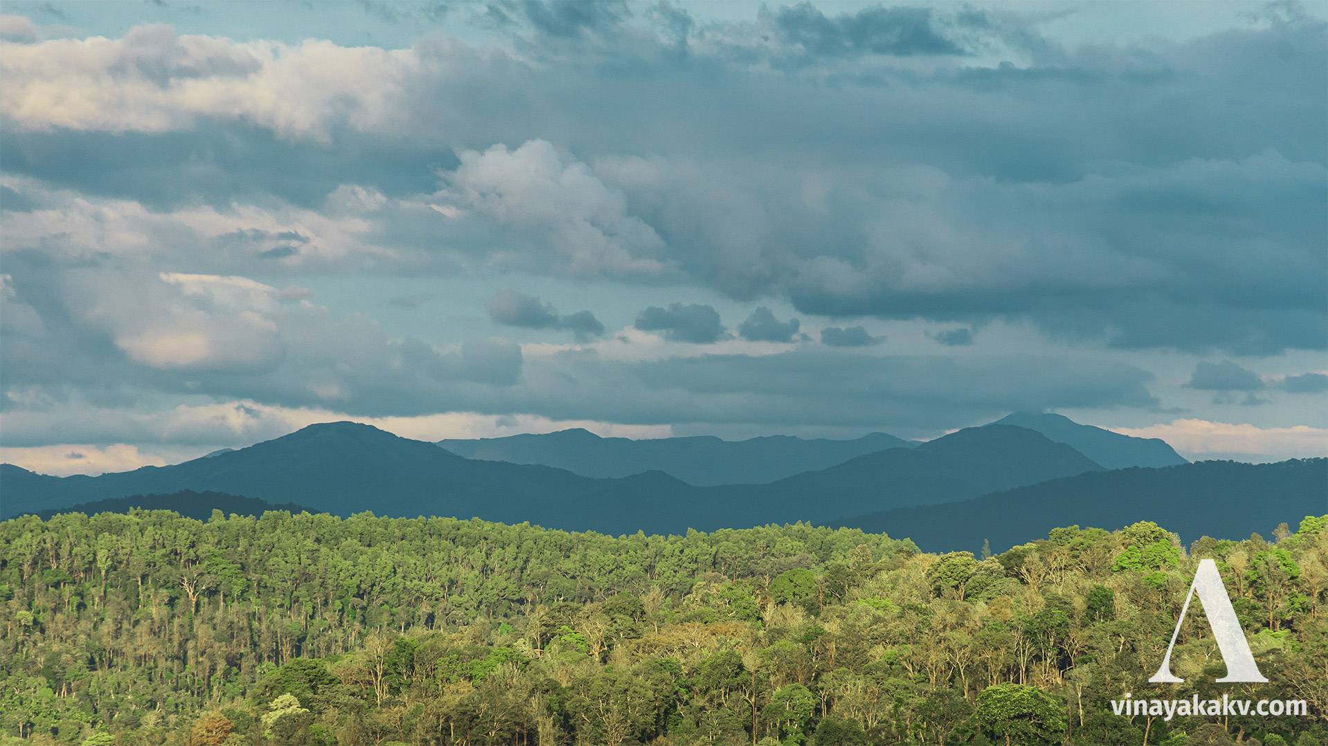
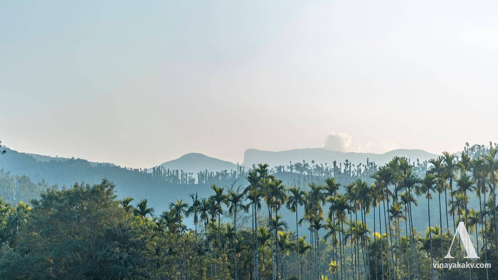
The Western Ghats is a long chain of mountains running parallel to the west coast of India. Although they are very much shorter, smaller, and narrower than Himālayas, they are very much older in age. Out of their length in Karnāṭaka, Kŏḍacādri, Kuduremukha, Puṣpagiri (Kumāraparvata) and Brahmagiri ranges are significantly loftier than the rest.
One of the famous coastal cities of Karnataka, Maṃgal̤ūru hosts several pollution sources, as every city in India does. Out of them, MRPL (an oil refinary), MCF (a chemical producer) and a thermal power station (Naṃdikūru, not in Maṃgal̤ūru, but nearby) contribute the most to air pollution. However, the level of air pollution is much lower than elsewhere and doesn’t affect daily life severely. But this pollution has an impact on long-range visibility; although not perceptible to commoners’ eye, certainty sensed by the ones hunting distant mountains.
The MRPL oil refinary.
Maṃgal̤ūru is not very far from the Western Ghats. A straight line to the northeast from Maṃgal̤ūru will pass through dense forests of the Kuduremukha range within 50km. Theoretically, the western ghats range has to be visible from Maṃgal̤ūru. If we were to find them on a day of hot summer, we would land up looking at blank, hazy sky. However, the weather changes it all.
Magical rains of monsoon lashes coast, adjoining ghats, and malĕnāḍu from June to August in its fullest potential (although there is a significant deviation in the timings in recent years).
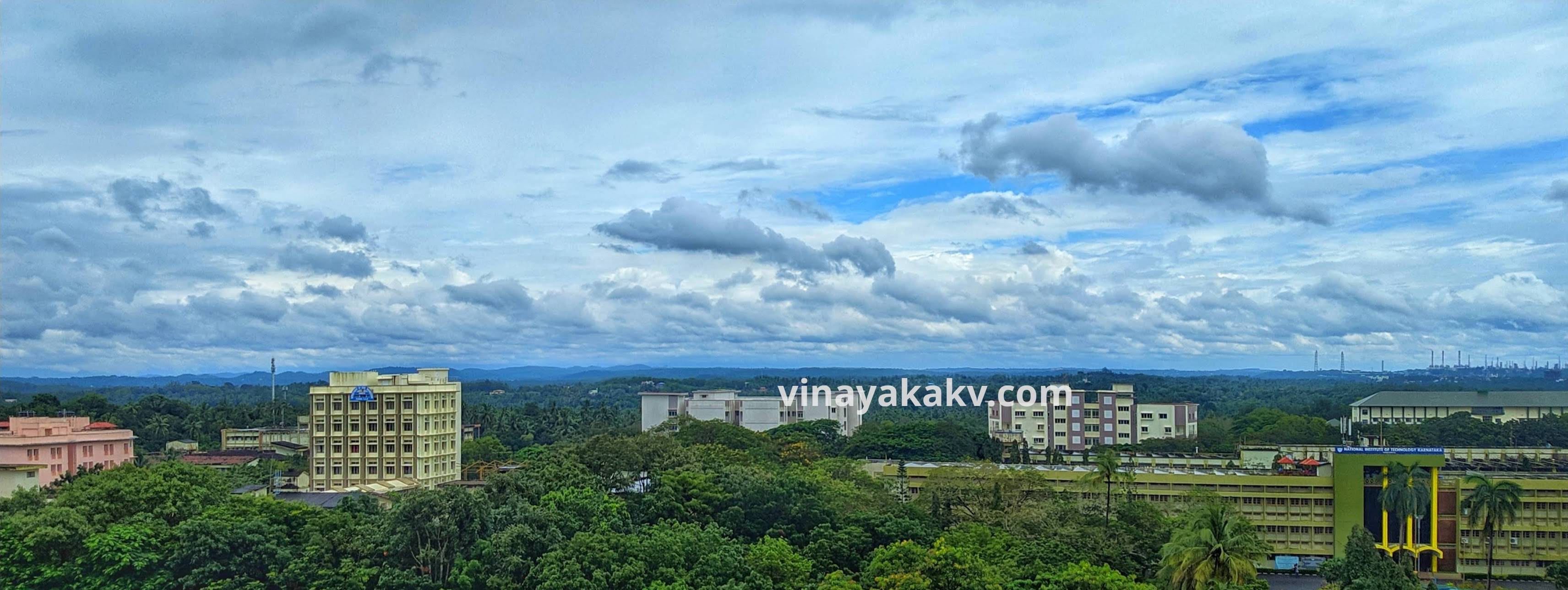
The months of September and October are not without rain. These rains clean the atmosphere and bring down the pollution levels. In these months, when the rain is not there, we can see a stack of clouds at the east, with a blue line at the bottom - the cloud-capped Western Ghats!
The blue line at the horizon is the Western Ghats. NITK in the foreground.
In order to look them in their full beauty, a cloudless morning is a perfect choice. By choosing morning, we hit two birds with a single rock — the beauty of the ghats, and the charm of the sunrise. The ghats look like as if they are the wall erected between coastal plains and the deccan plateau. Their look resembles a wave starting with lower elevations at Āguṃbĕ, gradually increasing towards and peaking at Kudremukha, and then suddenly disappearing.

Panorama of the Westren Ghats as seen by Mangaluru.
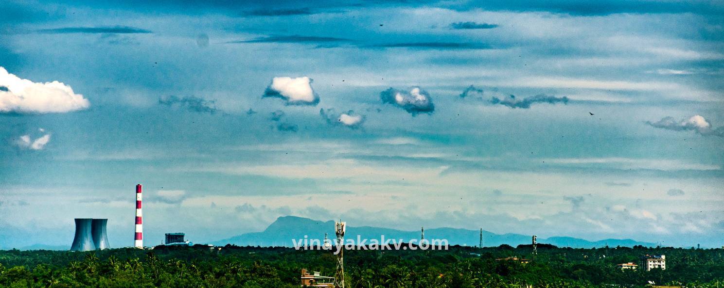
In the north, theoretically, we could be able to see Kŏḍacādri. But this scene is rare as Kŏḍacādri is 94km away LOS. You have to be extremely lucky (like me!) to get its view.
Kodachadri as seen from NITK. The Nandikuru Thermal Power Plant is at the left. It is a quite rare scene.
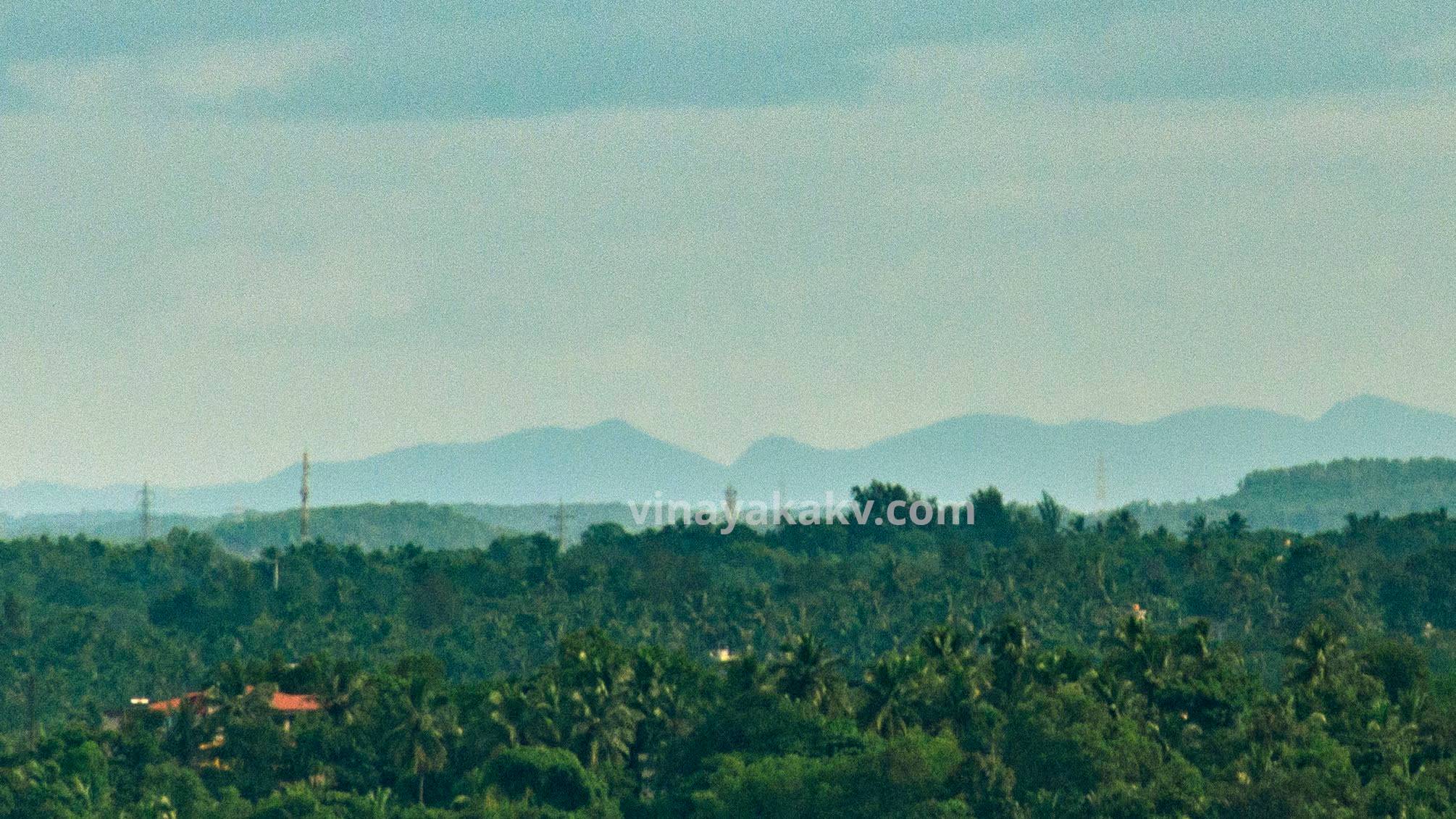
At northeast, small hills of Śivamŏgga district bordering Uḍupi start to appear.
Hills bordering Shivamogga district
A jump in elevation can be seen at the hills of Kabbinālĕ. From there, another major elevation jump occurs at Vālīkuṃja (1089m) near Aṃḍāru.
The highest point in this photo is Valikumja
Then we can see several hills behind the bordering ghats. The look as if they are showing their heads behind the wall. Out of these hills, Gaṃgaḍikallu is important, where several tribunaries of Tuṃgā and Bhadrā rivers originate.
The Gaṃgaḍikallu mountain
Then there is a constant increase in elevation till we hit the rock head of Kuriṃjālu peak near Bajagol̤i.
The rock face of Kuriṃjālu as seen near Bajagol̤i
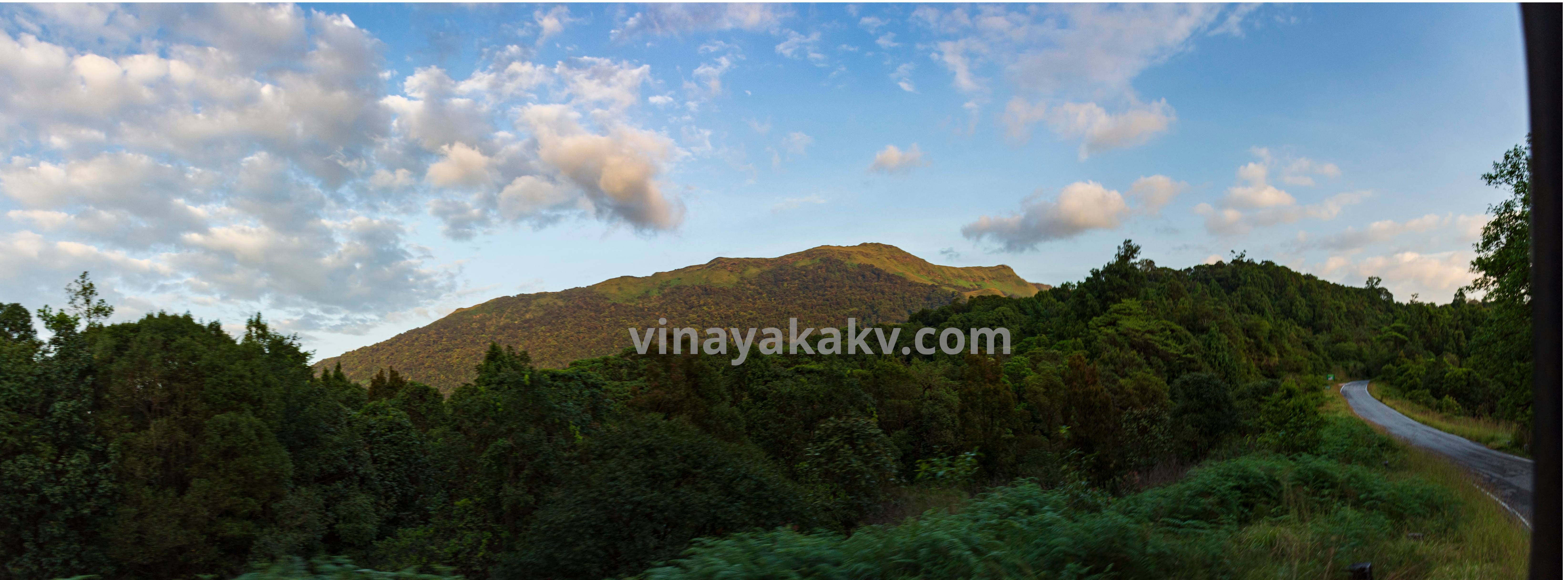
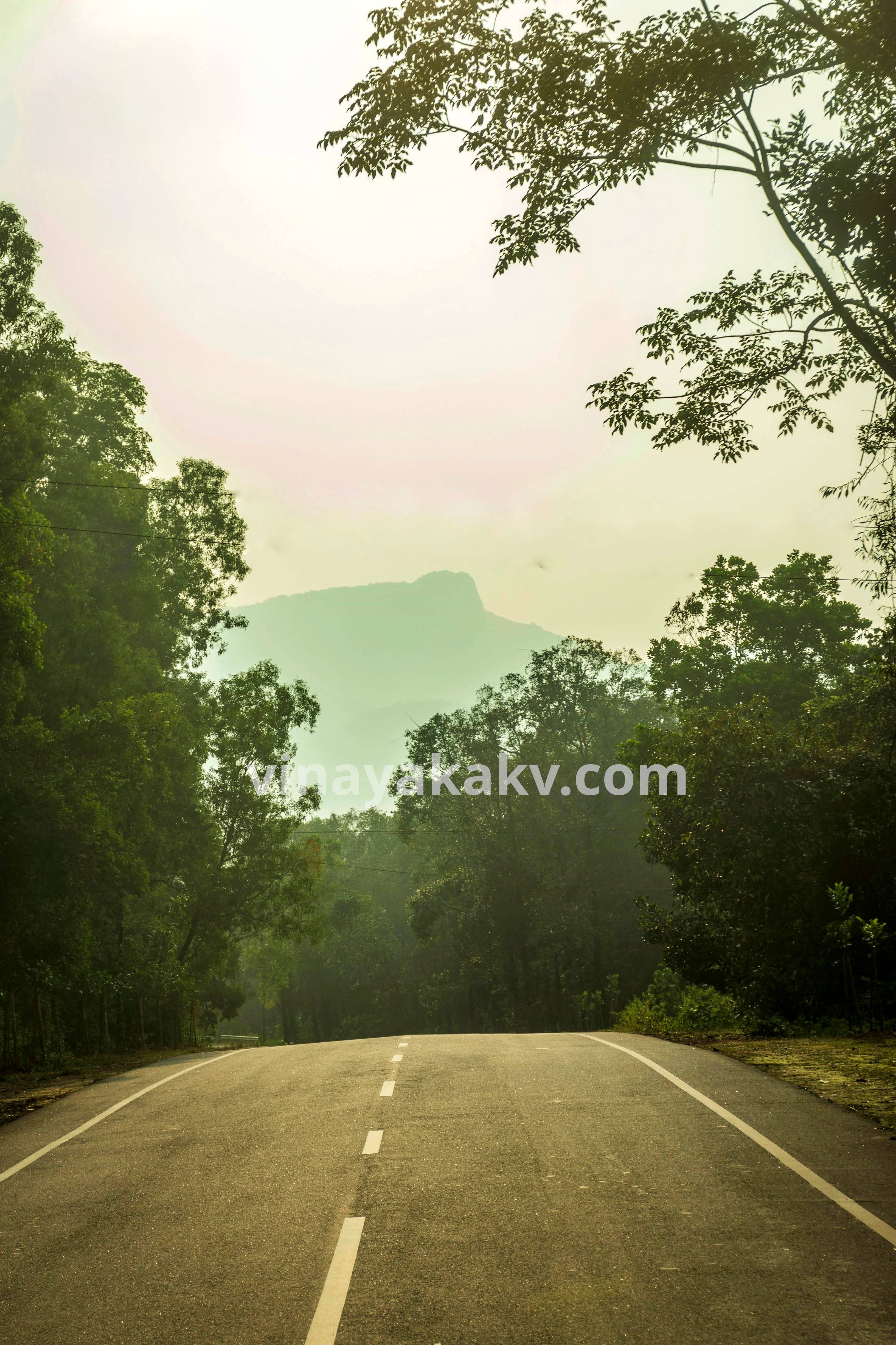
After Kuriṃjālu, elevation slowly increases towards east. The characteristics of the mountains turn slowly from dense forests to the grasslands. These dense forests are named after the goddess Bhagavati, the one who protects the beings of the forest, as well as the travellers passing through it.
The Bhagavati Forest, viewed from the other side of the mountains.
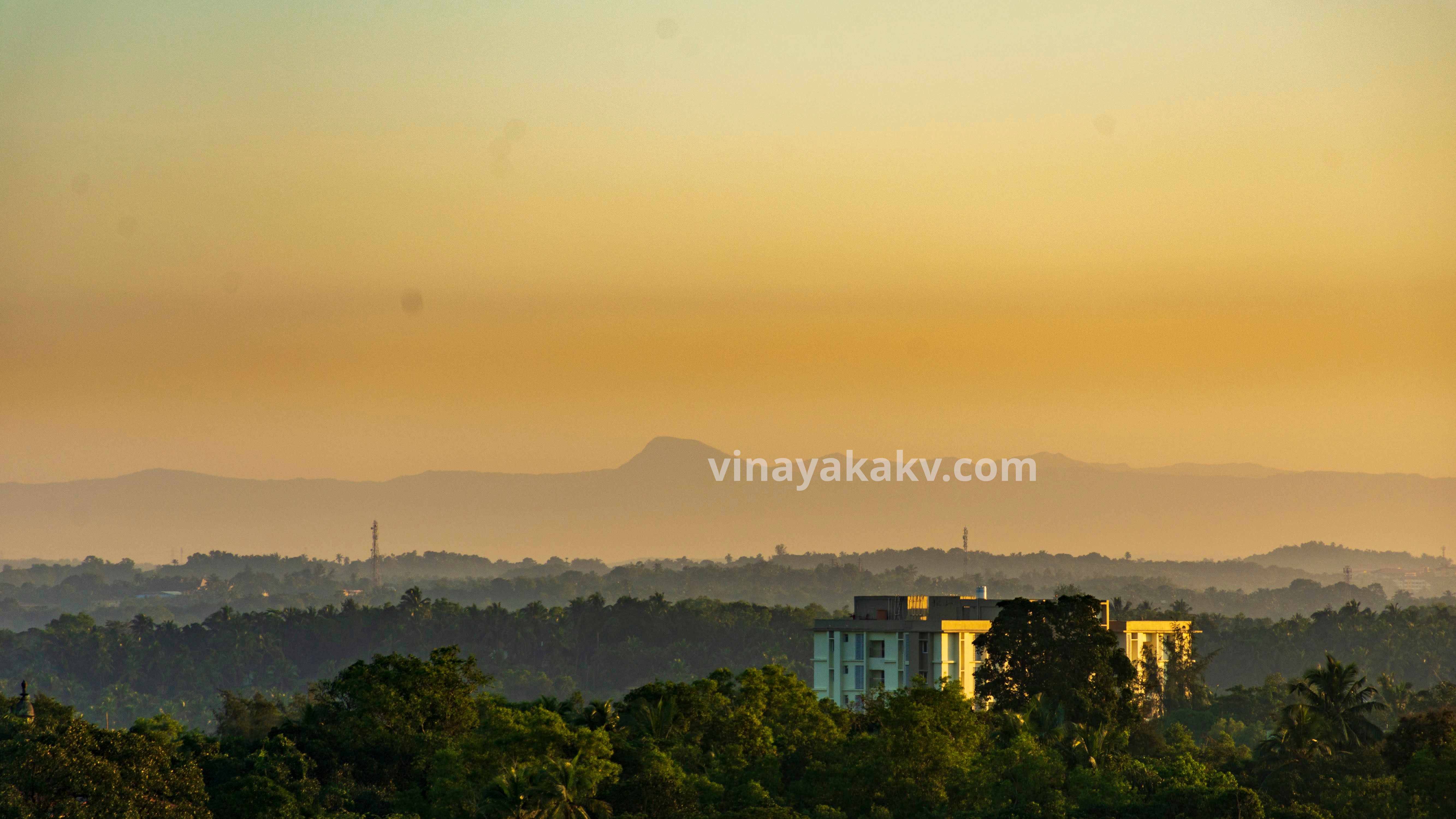
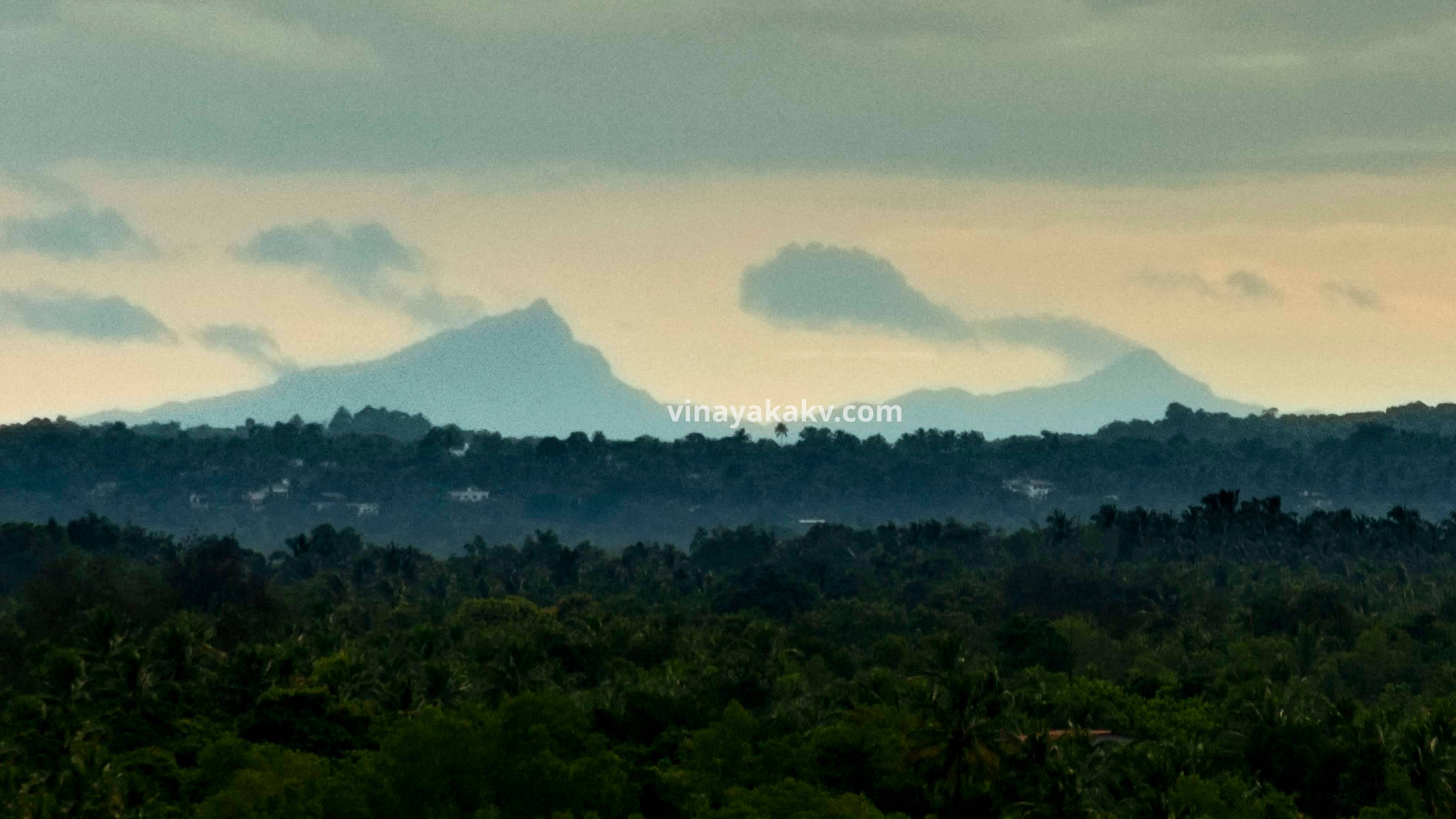
After Kuduremukha, the ghats bend inwards, and the distance from them to sea increase. However, we can see two rock peaks of Amedikallu (1260m). It should’ve been possible to view Puṣpagiri too, but MRPL factories obscure its view.
The sharp peaks of Amedikallu
Although the ghats offer a majestic view on the coast, fewer people observe it, maybe due to the reason that it is not visible year-round. When I was talking about the Kudremukha, some were in disbelief. When I told them about Kodachadri, they looked at me as if I was mad😂. Anyways, photos are the proof!
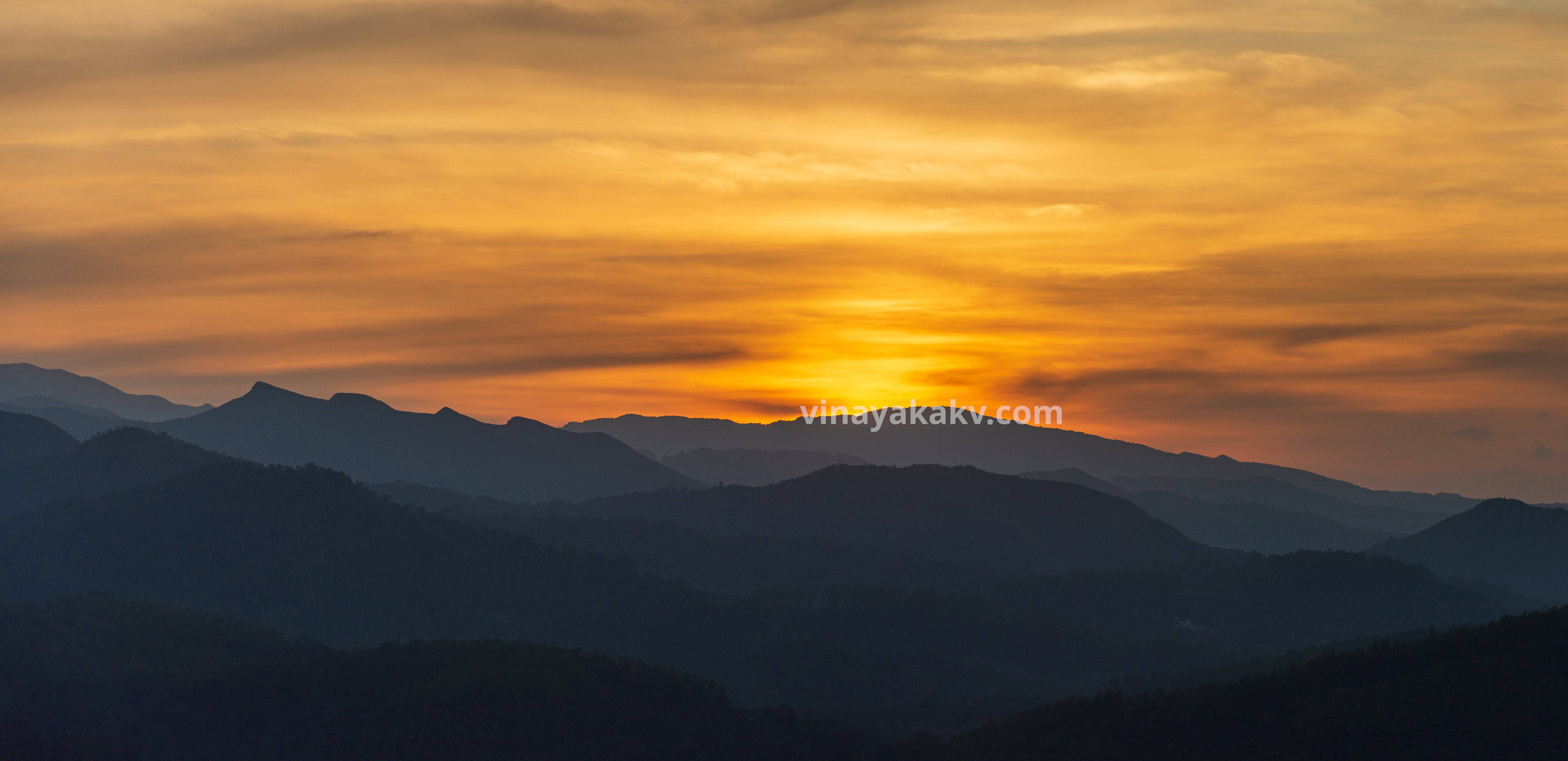
If you live in ಮಂಗಳೂರು, you are so lucky that when you stand at the top of any building (for me, my department!), and if the weather is clear, you will get a view of ghats in the east with the sea at the west. They both are essential to the survival of humans both on the coast and beyond the wall, as they bring rain and provide food to survive.
They tried to tame a horse. They exploited it for decades. Finally, the horse won.
The mountains suddenly disappear upon the arrival of winter. What makes them so? let's find it out.
I write a new article usually once a month. Whenever I publish, you will get an email in your inbox.

