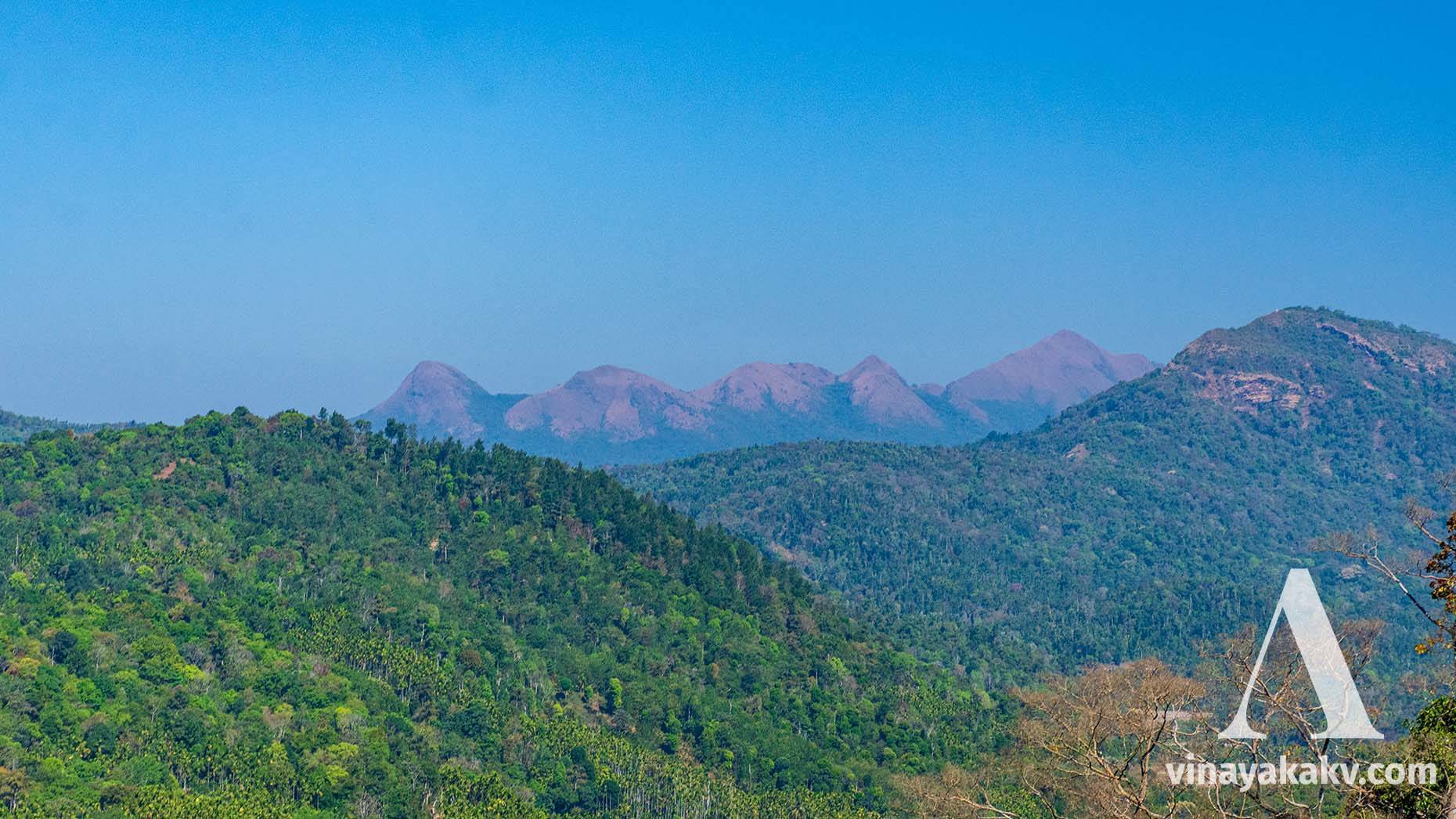
A story of the journey across the tallest, biodiverse Western Ghat mountains of Karnataka.
Mountains are always wonderful. Their view is just enough to attract one to them.
Mountains are always beautiful creatures in my eyes. As I am from malĕnāḍu, a hilly and mountainous region of Karnāṭaka in the Western Ghats, my childhood is attached to the memories of numerous mountains. As a child, I was always wondered by changes in the view of mountains from one place to another. When I discovered Google Earth, I was delighted so that I could finally understand the complete terrains of the mountains.
I missed the calmness and majestic look of the mountains during my studies at Mysuru, which is located in bayalusīmĕ, the plains of the state. Fortunately, there was Chamundi Betta — not majestic and continuous as the Western Ghats, but nearly sufficient to heal the pain of missing mountains. While the holidays spent in my native were joyous and spent roaming the hills and mountains in the evening, returning was painful except starting part of the return route.
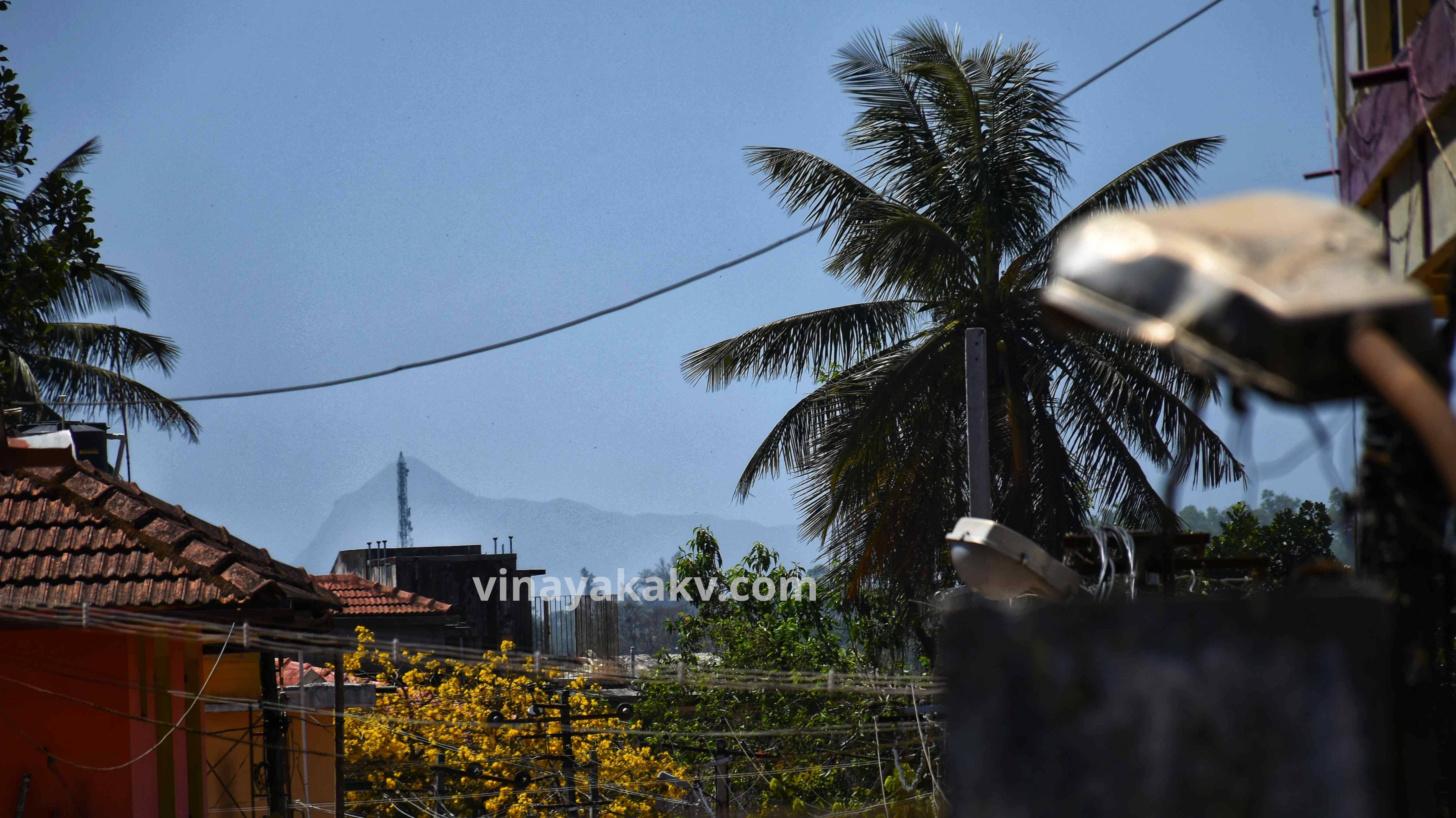
Chamundi Betta, from Shrirangapattana
In the shortest route from my native to Mysuru, where regular KSRTC buses operate, some 45km of the route passes parallel through the west-facing border of the Western Ghats and comprises of coffee, tea plantations, and, to some extent, native forest. After Kŏṭṭigĕhāra, the place where beautiful ghat road of Charmadi begins, the looks start to change. Although it is still malĕnāḍu, mountains give way to vast fields of paddy. Another 40km, at Belūru, there is no sign of mountains, and it is entirely plains. It was boring for me in the bus after Kŏṭṭigĕhāra; although there were some sighting of the hillocks entirely comprised out of the rocks in the plains.
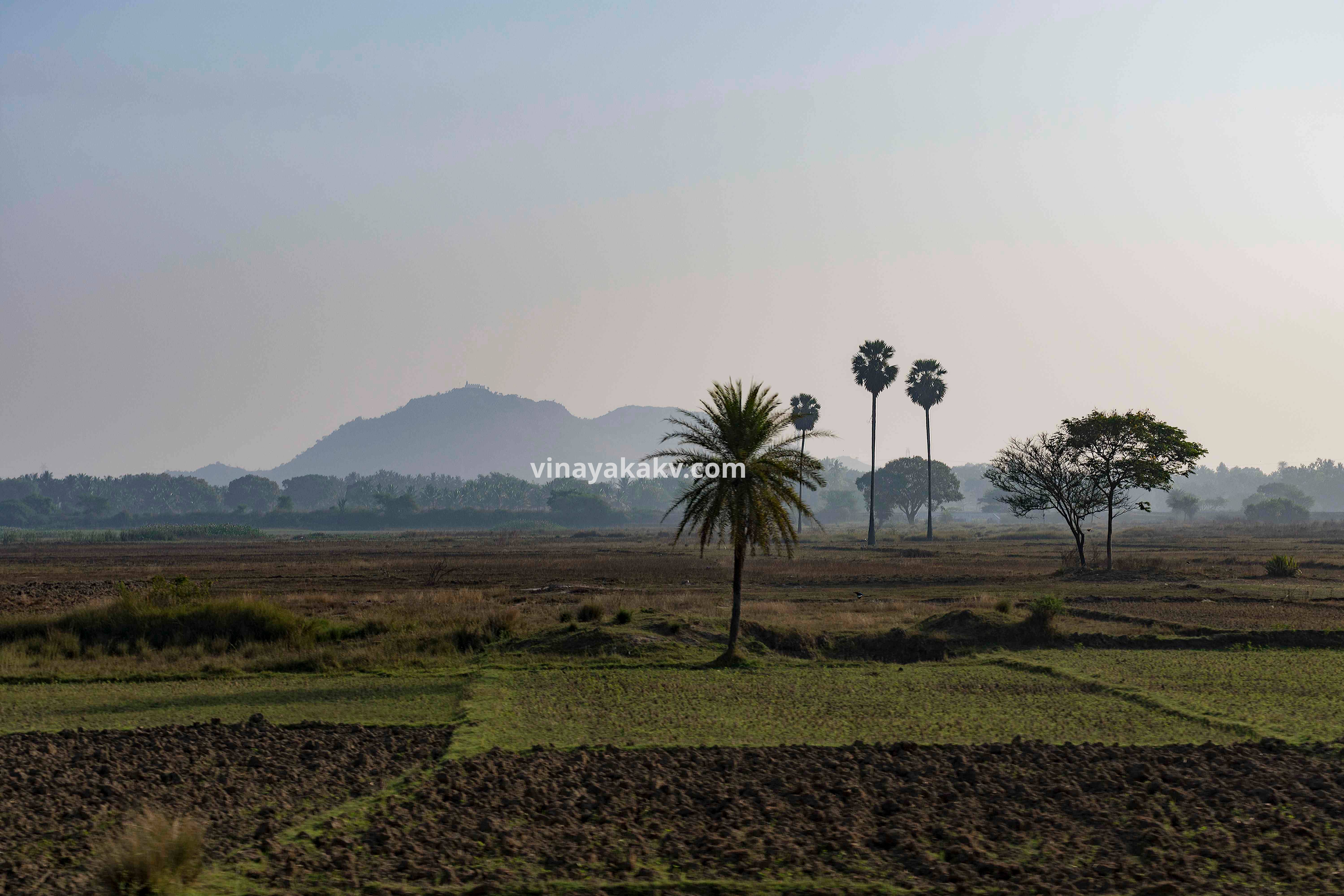
One of the many hillocks of the bayalusīmĕ. This one is from Hŏl̤ĕnarasīpura of Hāsana district.
Inspired by the book “Dāri tappisu devare(ದಾರಿ ತಪ್ಪಿಸು ದೇವರೇ)” (written by Manjunath Kamath, a professor of journalism at MGM Udupi), I decided to explore other routes to Mysuru, which were longer than the usual but passed through more regions of malĕnāḍu. Initially, I changed the bus at Mūḍigĕrĕ, and went to Sakaleśapura, from where I went to Hasana and then, as usual to Mysore in the plains. After some time, to look into malĕnāḍu of Kŏḍagu district and to explore some more mountains, I started going to Somavārapeṭĕ via Hĕttūru and Māgeri from Sakaleśapura. Although the route was much longer now, it was more scenic and beautiful.
Choosing a longer road that passed through malĕnāḍu offered me several benefits – understanding of cultural and language difference, understanding of various types of vegetations and hill forms, and most importantly, the sighting of several tallest peaks of Karnāṭaka on the way.
Most area of Karnāṭaka is comprised of bayalusīmĕ, a part of Deccan Plateau. A narrow strip of the land to the west, by the sea, is karāval̤i, the lowland coastal area. In between bayalusīmĕ and karāval̤i, stands the iconic Western Ghats mountain range, also called as malĕnāḍu. To the south and southwest, Eastern Ghats of Malĕ Mahadeśvara and Biligiri Rangana Swami Betta ranges are situated. Besides this, there are several hillocks in the plains, such as Chamundi hills. Out of these mountains in Karnāṭaka, the Western Ghats are of higher elevation, which gradually increases towards the south. As I was already located in a region near to their maximum elevation, and the route further moved south in the ghats, there was a chance for me to look at several tallest mountains of Karnāṭaka – 5 out of top 10!
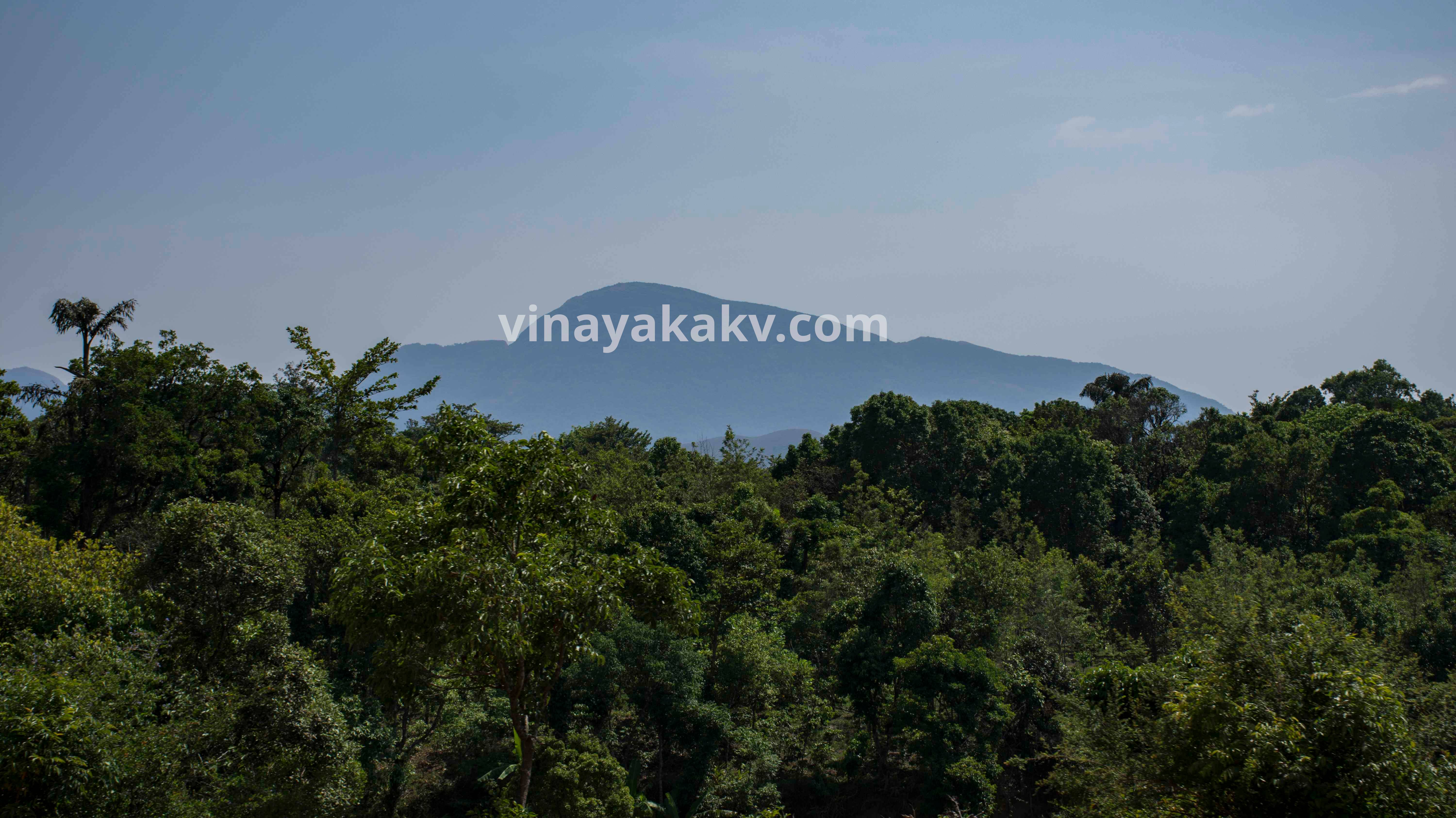
The first mountain to be seen is Kuduremukha (1894m, 3rd highest in Karnataka), which got its name from its peak, looking like a horse face.
Kudremukha peak from my native on a misty summer morning. It is the highest point of a sub-range of western ghats bearing its name
After a journey of 5km, Mertiguḍḍa (1676m, 6th highest) can be seen, whose sighting is blocked by its sub-mountains in my native. This mountain, along with its sub-mountains, has remarkably sharp peaks.
Mertiguḍḍa (also called as Merti parvata) with its peaks in the background. Mallarasana Guḍḍa (1290m), one of the worst-hit areas of 2019 monsoon landslides, is in the foreground.
Some distance passing after Hirebyle, we get an incredible view of Chandradrona range of Chikkamagaluru provided clear sky and haze-free atmosphere. The highest peak of Chandradrona, Mullayyanagiri (1930m), which also happens to be the highest mountain in Karnāṭaka can be seen from here. It obscures the view of Bababudangiri (1895m), which is the second in the list of the top mountains.
Mullayyanagiri along with Chandradrona range. Observe the range behind Mullayyanagiri, appearing behind its saddle point. The whole range is crescent-moon shaped, hence the name chandra-drona.
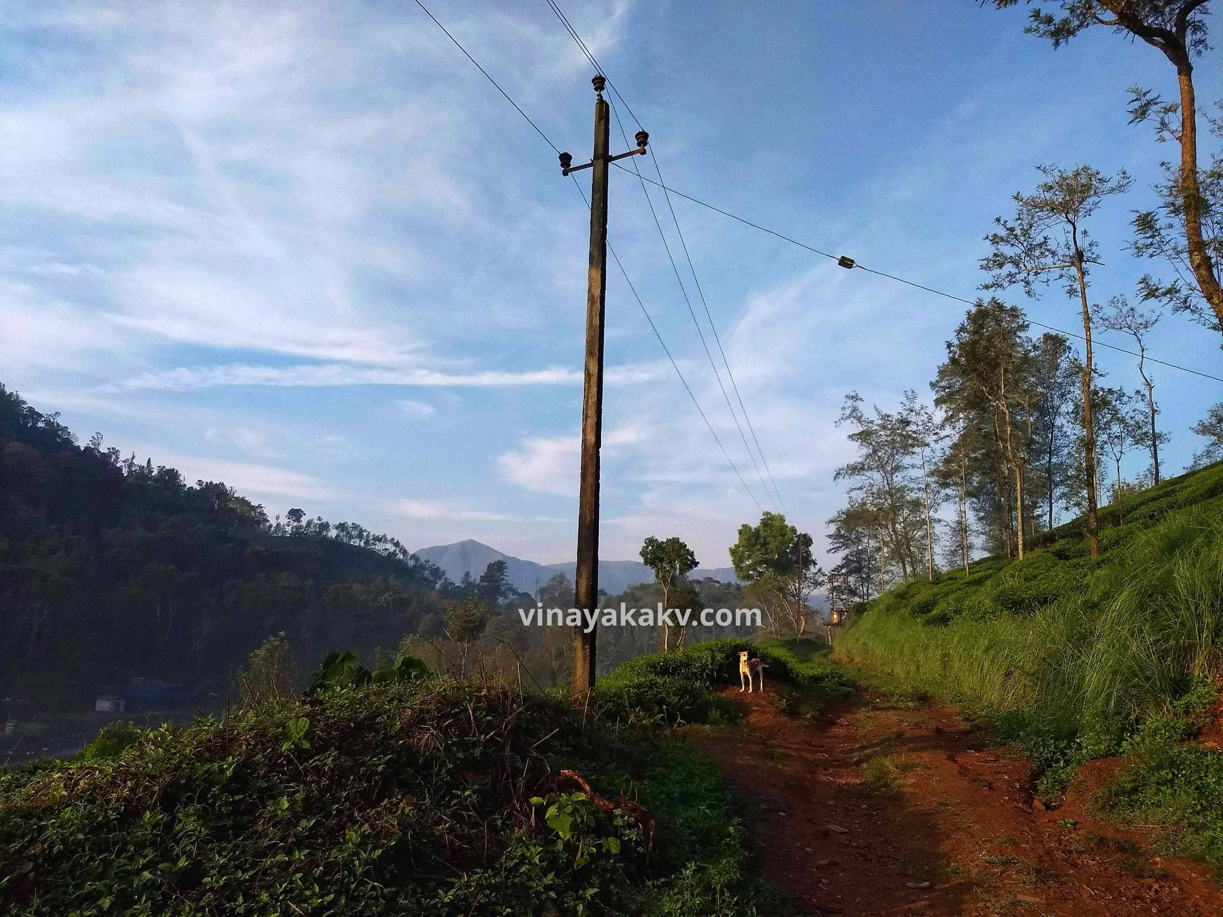
Suṃkasālĕ and Kĕl̤agūru offer the view of Ballāl̤arāyana durga (1509m). Although not in the list of the top mountains, it offers a beautiful view of the Mangaluru district along with a cliff called Rāṇi Jhari.
View of Ballāl̤arāyana Durga at background from Kĕl̤agūru Tea Estate
After this, the road from Kŏṭṭigĕhāra till Hettur passes through lots of coffee plantations but offering no sight of any significant mountain. As an exception, Ĕttina Bhuja (1193m) can be seen from Mūḍigĕrĕ, in haze-free days.
Ĕttina Bhuja as seen from Mūḍigĕrĕ KSRTC bus stand
In the same road, after Hānabāl̤u, the view of hilly patches of land with border Western Ghats at background is beautiful.
View of bordering westren ghats near Hānabāl̤u
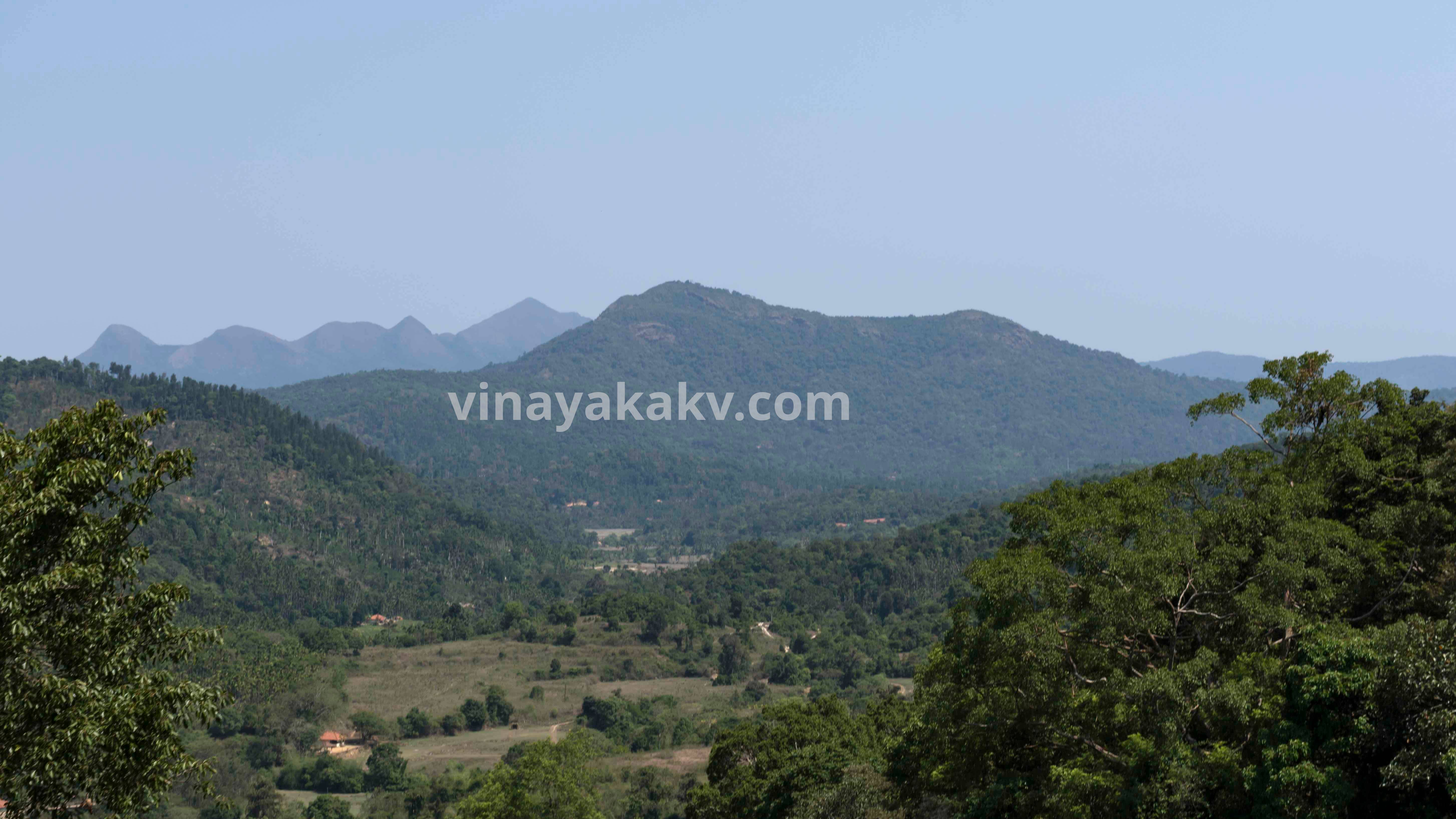
The base of Kumāraparvata or Puṣpagiri(1600m, 5th highest) is visible from the route of Hĕttūru to Māgeri. If weather conditions are clear, it is also visible from Somavārapeṭĕ, the highest point in our journey.
Kumāraparvata as seen near Hĕttūru
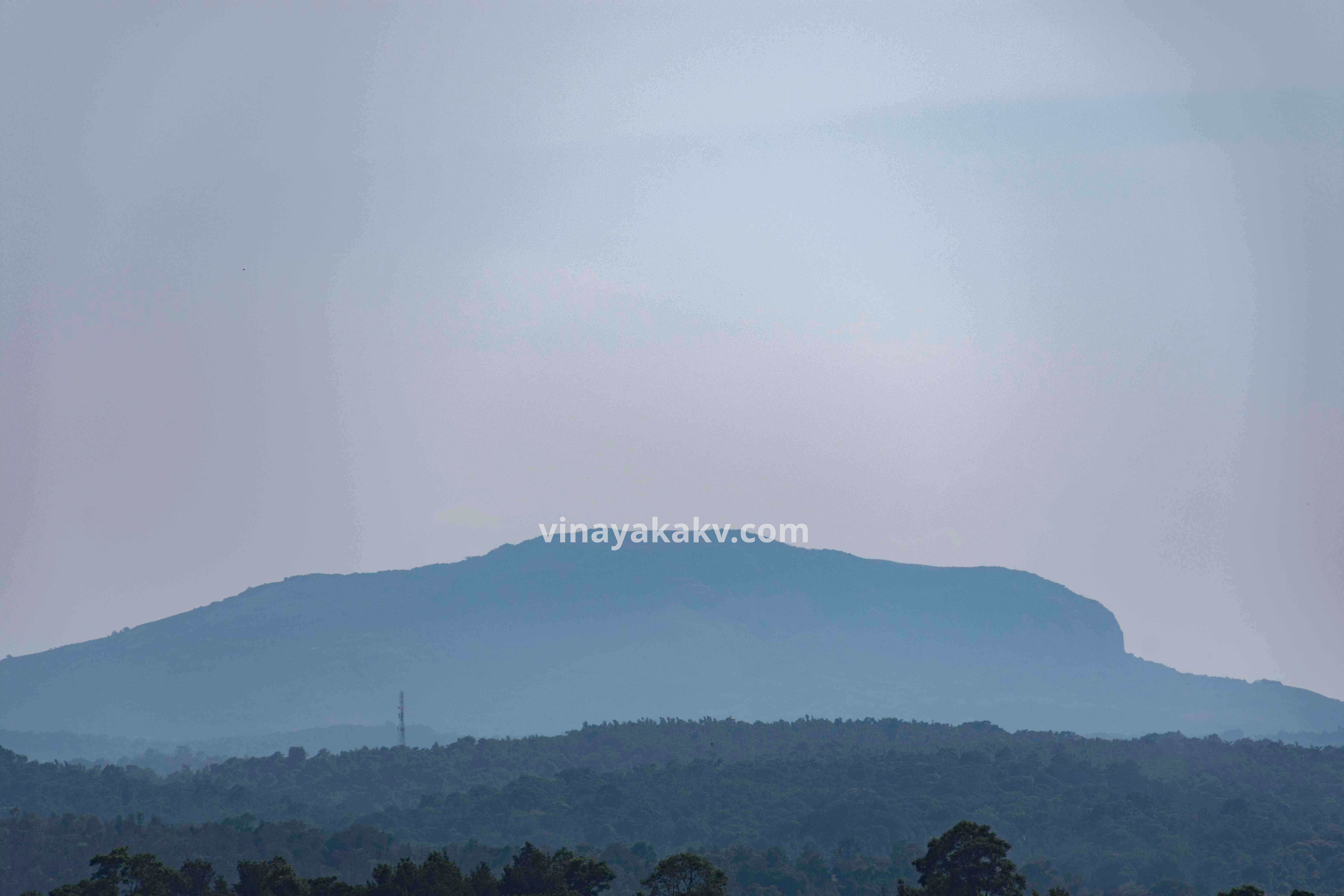
From Somavārapeṭĕ, we can also see the flat peak of Koṭĕbĕṭṭa(1620m), which is the 7th highest peak in Karnāṭaka after Mertiguḍḍa. Mountains of Taḍiyāṃḍamol(1748m, 4th highest) and Brahmagiri(1608m, 8th highest) are in the Kŏḍagu district itself, which if sighted would complete top 8 mountains in the list. Unfortunately, they are not on the route to Mysuru.
Also, Somavārapeṭĕ stands at an elevation of 1138m, offering a good view of mountains nearby.
A view of Koṭĕbĕṭṭa from Somavārapeṭĕ KSRTC bus stand.
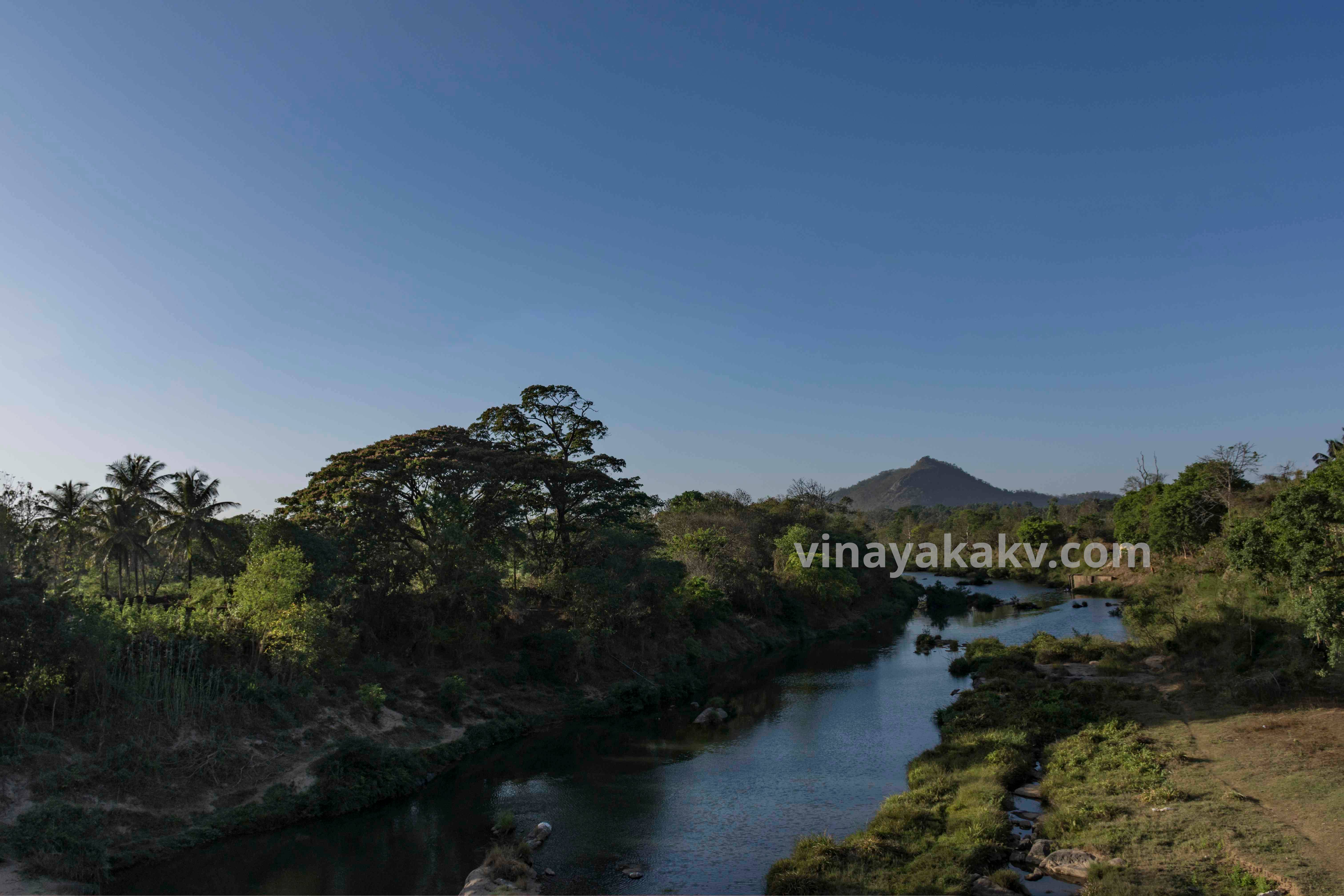
After Somavārapeṭĕ, Enroute Kuśālanagara, the elevation gradually decreases, and the forests slowly transform from evergreen to deciduous. In Kuśālanagara (840m), bayalusīmĕ starts again except for a few hills. It is the point where river Harangi, after passing through the reservoir confluences with river Kaveri.
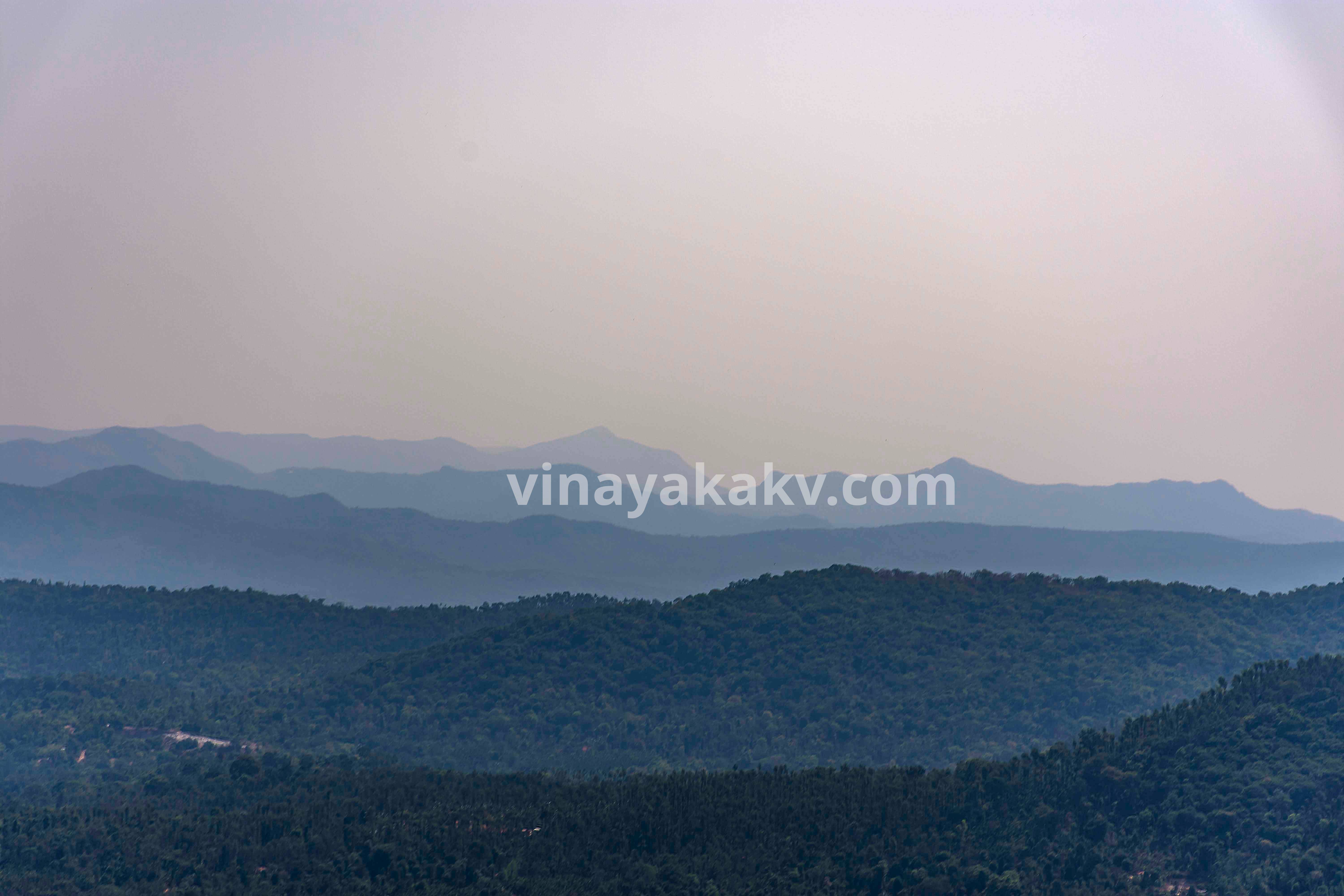
A panoramic view of hills from Somavārapeṭĕ
The river Kaveri in Kuśālanagara marks the border between Mysuru and Kŏḍagu districts. Once in Mysuru District, bayalusīmĕ continues, and the sighting of Chamundi Betta(1055m) signifies the end of the journey, with the sighting of 6 mountains out of top 10 in Karnāṭaka, that too without moving from the window seat of a bus!
River Harangi as seen from Kuśālanagara
| Rank | Name | Elevation | Hunted? |
|---|---|---|---|
| 1 | Mullayyanagiri | 1930m | Yes |
| 2 | Baba Budangiri | 1895m | Obscured |
| 3 | Kudremukha | 1894m | Yes |
| 4 | Taḍiyāṃḍamol | 1748m | No |
| 5 | Kumāraparvata | 1712m | Yes |
| 6 | Mertiguḍḍa | 1676m | Yes |
| 7 | Koṭĕbĕṭṭa | 1620m | Yes |
| 8 | Bramhagiri | 1608m | No |
| * | Ballāl̤arāyana durga | 1509m | Yes |
| 9* | Nandi Betta | 1478m | No |
| 10* | Gopālasvāmi bĕṭṭa | 1450m | No |
| 11* | Skandagiri | 1450m | No |
| 12* | Kodachadri | 1343m | No |
| _ | Mallarasana Guḍḍa | 1290m | Yes |
| - | Ĕttina Bhuja | 1193m | Yes |
| - | Chamundi Betta | 1055m | Yes |
Adapted from Walk through India and Wikipedia
* Information disagreement between the sources – Although there are lots of resorts and tourist attractions built nowadays around these mountains, it wonders me that there is no reliable source of information exists about them.
Thanks to @thelostlander for helping me to recognize Koṭĕbĕṭṭa from the photos taken at Somavārapeṭĕ.
A story of the journey across the tallest, biodiverse Western Ghat mountains of Karnataka.
I write a new article usually once a month. Whenever I publish, you will get an email in your inbox.
.jpg.jpg)

