They tried to tame a horse. They exploited it for decades. Finally, the horse won.
The slope of the Western Ghats is generally smooth at their eastern side, tending to be steep at their coast-facing western side. Recently, I had been to a 1528m mountain situated in the Kuduremukha National Park, following the gentle slope. In this article, let’s walk through the streams, sholas, and forests, to explore this misty mountain.
I’m talking about the Netravati Peak, which got recently hyped and famed. The actual name of the peak is not the Netravati, but rather maNNu.kuNi.Eri (lit. the slop with the mud hollow, due to the animals digging in the place). As with other place names (remember Mount Everest? 😬), people found the native name not too attractive for marketing, thus renaming it after the Netravati river, which originates nearby.
The place got popular recently due to social media attention and trekking groups. Finding the opportunity, the Karnataka Forest Department stepped in and started ticketing, making the visit too much costly for local people. Anyway, I decided to break down the hype and visit it even though it cost me ₹4000 for transportation (32km, two way, at this cost, I would have covered two way trip from Bangalore to Chennai 😆 ) and ₹500 for entry (there is an extra charge for the camera, another charge for a zoom lens!).
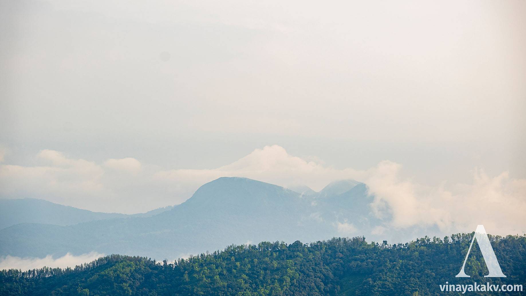
The starting point of the trek is already at an elevation of around 1100m, making the ascent to be around 400m, taking the course of 6km. At the start, we see all 4 out of 5 peaks of Mertiparvata.
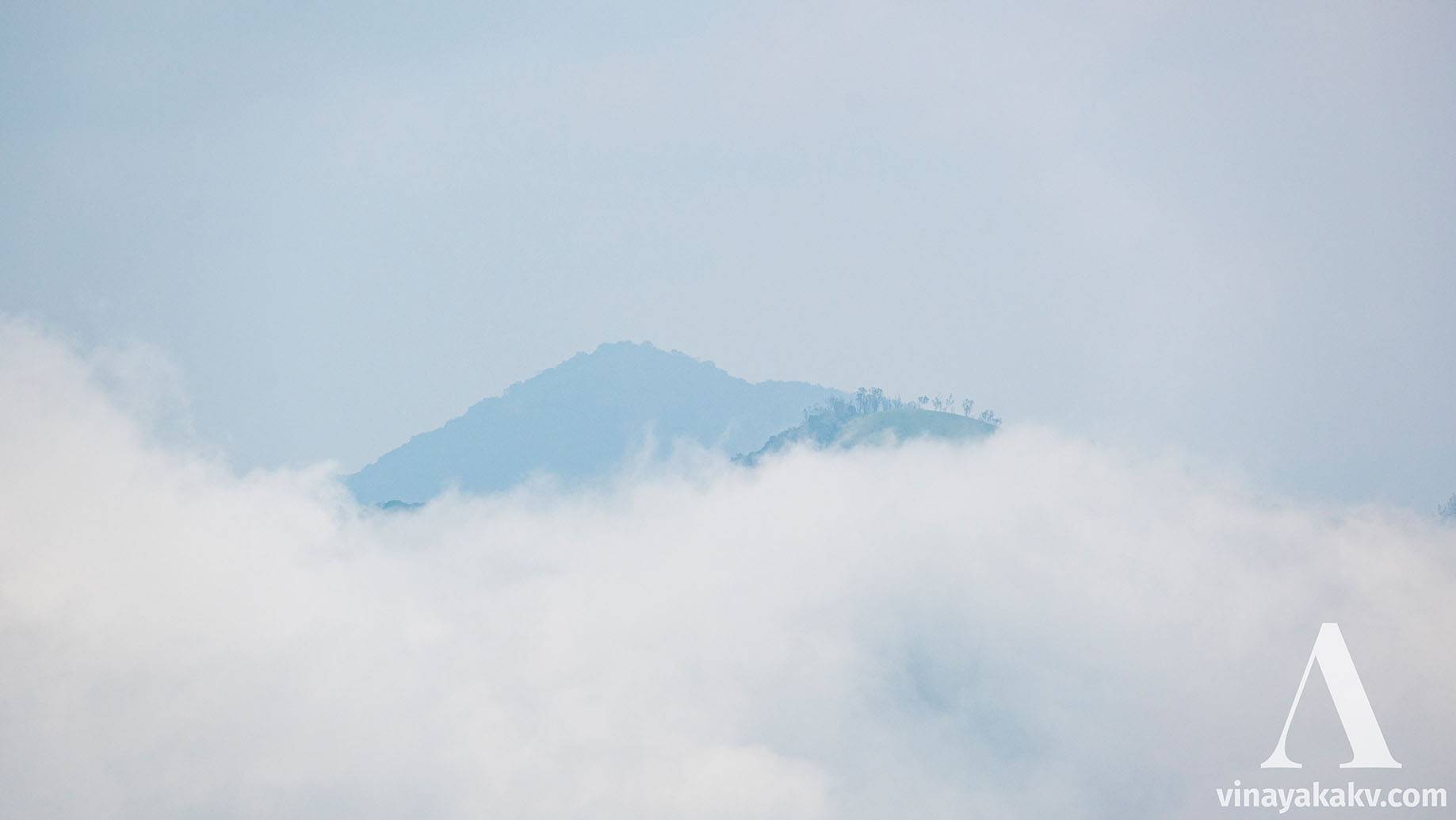
At the front, 2 peaks of Mertiparvata. The third peak is occuluded, the 4th one is visible with its head covered in the mist. The 5th and the tallest is completly covered with mist, although the cloud is in the same shape of the conical peak.
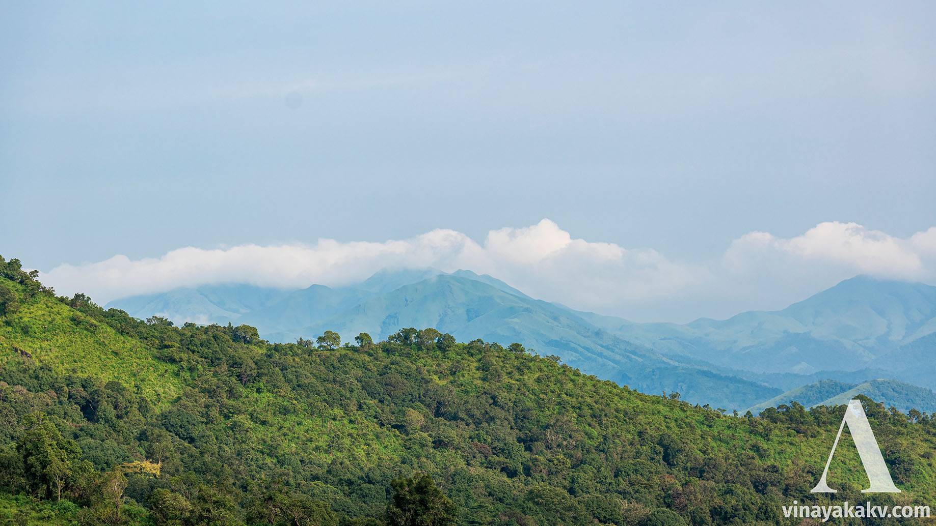
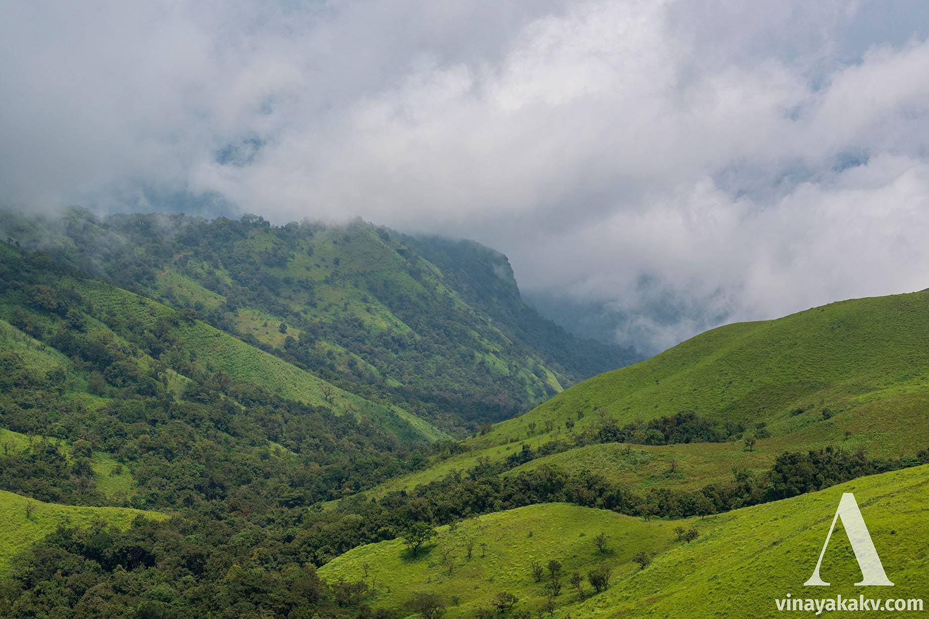
Then we see numerous shola mountains of Kuduremukha National Park, which unfortunately was not looking good due to the haze that day.
The Shola Mountains of Kuduremukha Natioanl Park, covered with mist and haze
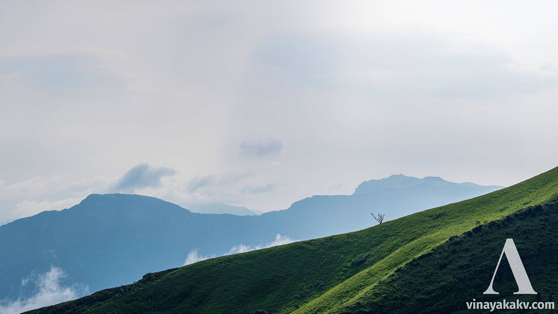
The Rani Jhari cliff of Ballalarayana Durga can be seen majestically in the east.
The Rani Jhari Cliff at left
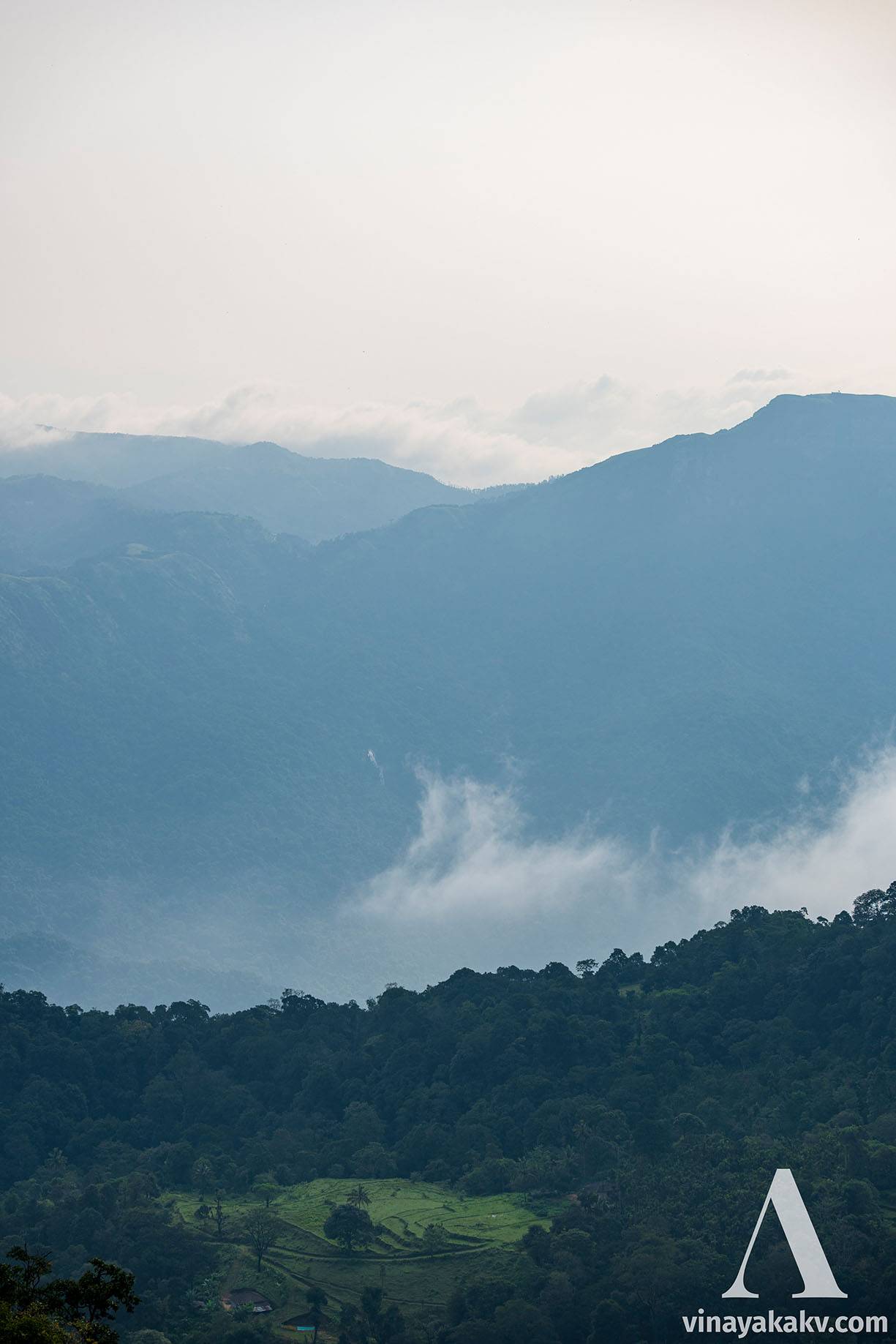
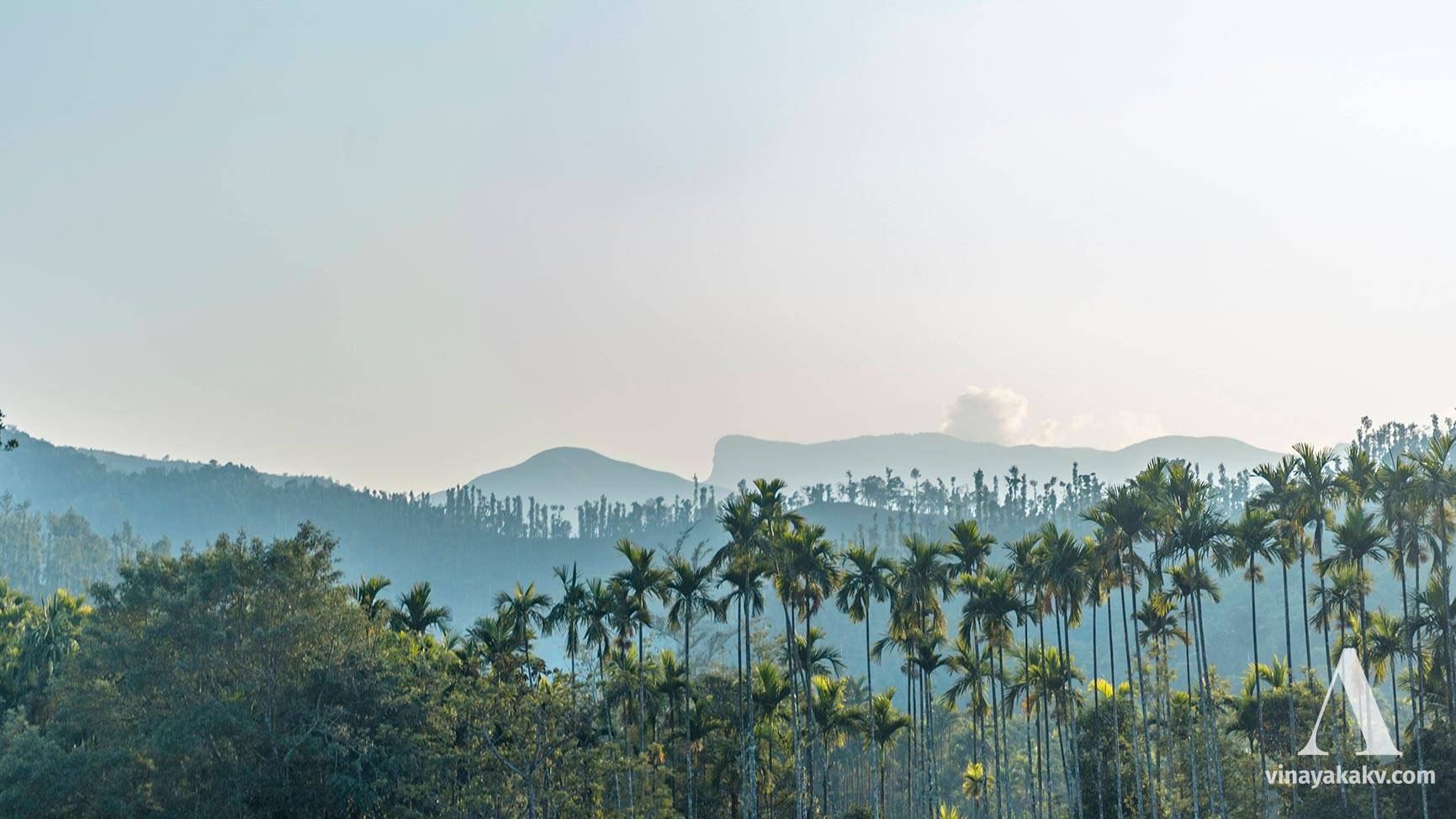
We also see farmlands with paddy and areca everywhere.
A terrace farmland amidst Shola jungle, a distant waterfall forms the backdrop
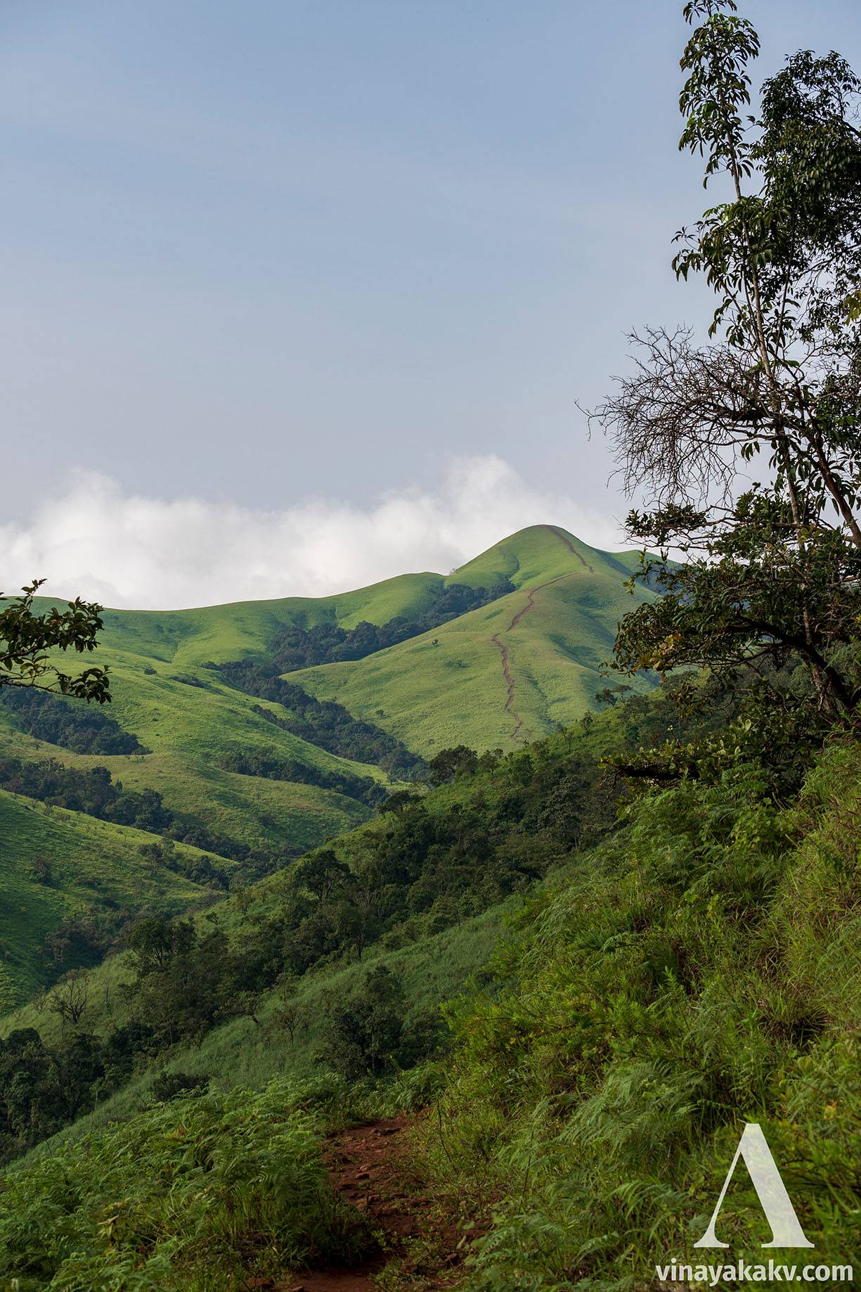
We can view the destination itself en route, clearly distinguished by the grass-less pathway to its top. The grass here is cleared due to the footsteps of lots of trekkers walking along!
The Mannkuneri peak from along the route
Due to the cloud and haze that day, we missed the sight of lots of other mountains. However, the Mallarasana Gudda of Hirebyle was a notable exception.
Mallarasana gudda is the hill at the last layer
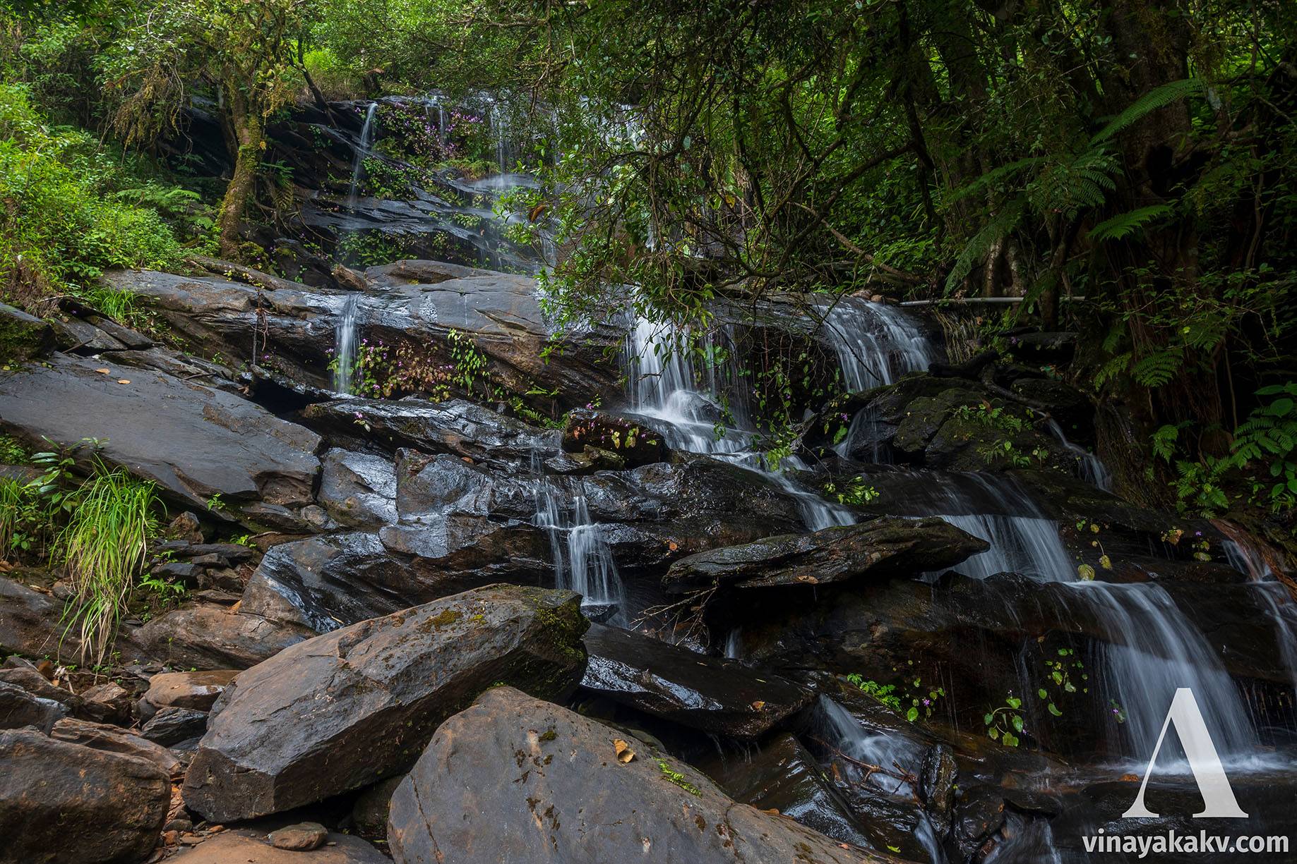
The route passes through several steams along the way, which are full of water (and leeches!) during the Monsoons.
A strem en-route Mannkuneri
Once we pass the last stream, a significant ascend begins. After climbing four hills, we finally arrive at Mannkuneri peak.

The significant ascend
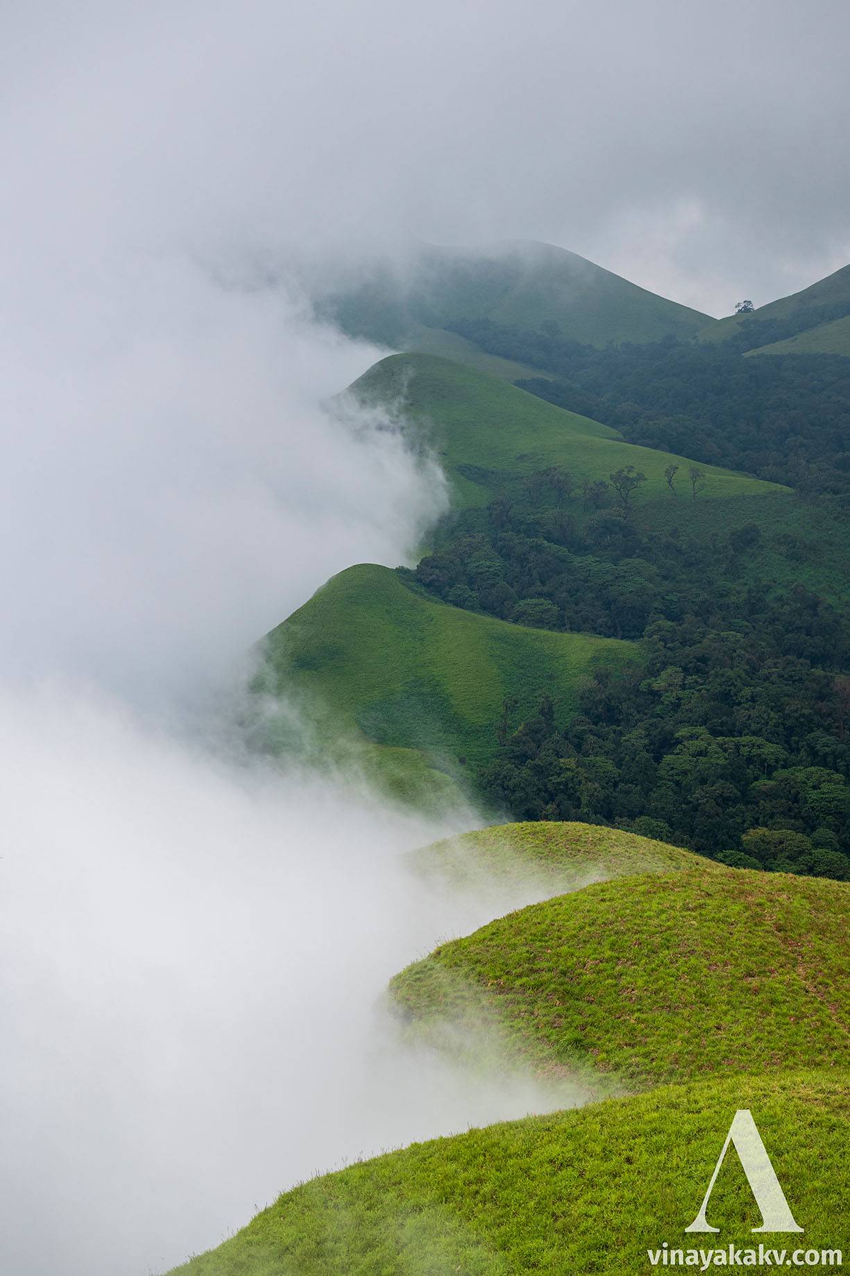
At the peak, we were greeted with thick mist, which was ascending the ghats from the southeast. The Northwesterly winds were making sure that they remain in place, so it was a deadlock for them! However, the mist cleared after some time, and we could be able to see the beautiful view of the mist deadlocked at the side of the cliff.
The locked mist, they could not raise further due to the winds atop blowing in the opposite direction
We remained there to see if the mist below clears, allowing the view of the plains of the Dakshina Kannada district, and other mountains nearby. Unfortunately, that never happened and we satisfied ourselves by roaming around nearby small cliffs.
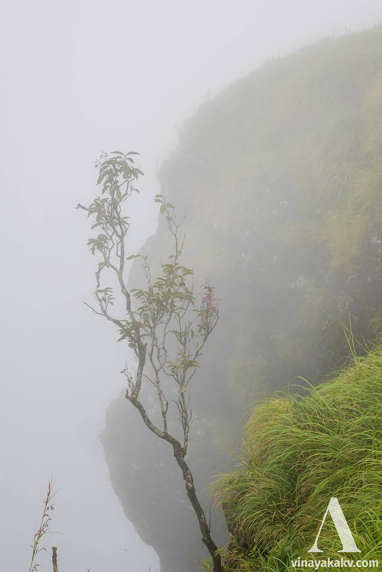
Life at the edge, (mostly) a mango tree
After spending some time at the peak, with no hopes of the mist being cleared, we started descending the mountain. During the descent, we could clearly see the trail that passed aside a ridge, with a cliff at the end.
The way back, descent
The descent is very easy and fast, and we are at the base within an hour, that too with a slow, lethargic walk!
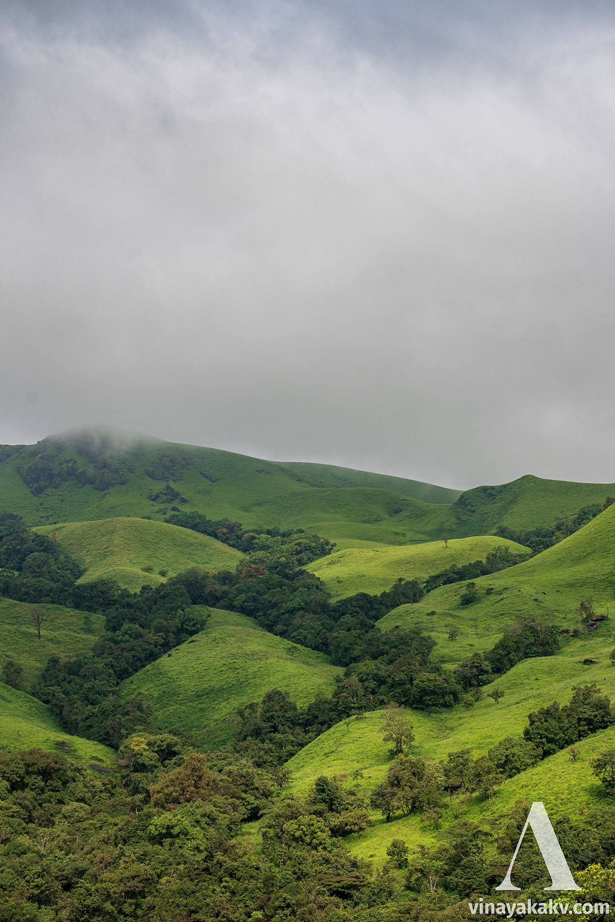
The forests at this elevation are Shola, a grassland-forest complex, which creates a beautiful mosaic view of light and dark green.
The shola river of trees!
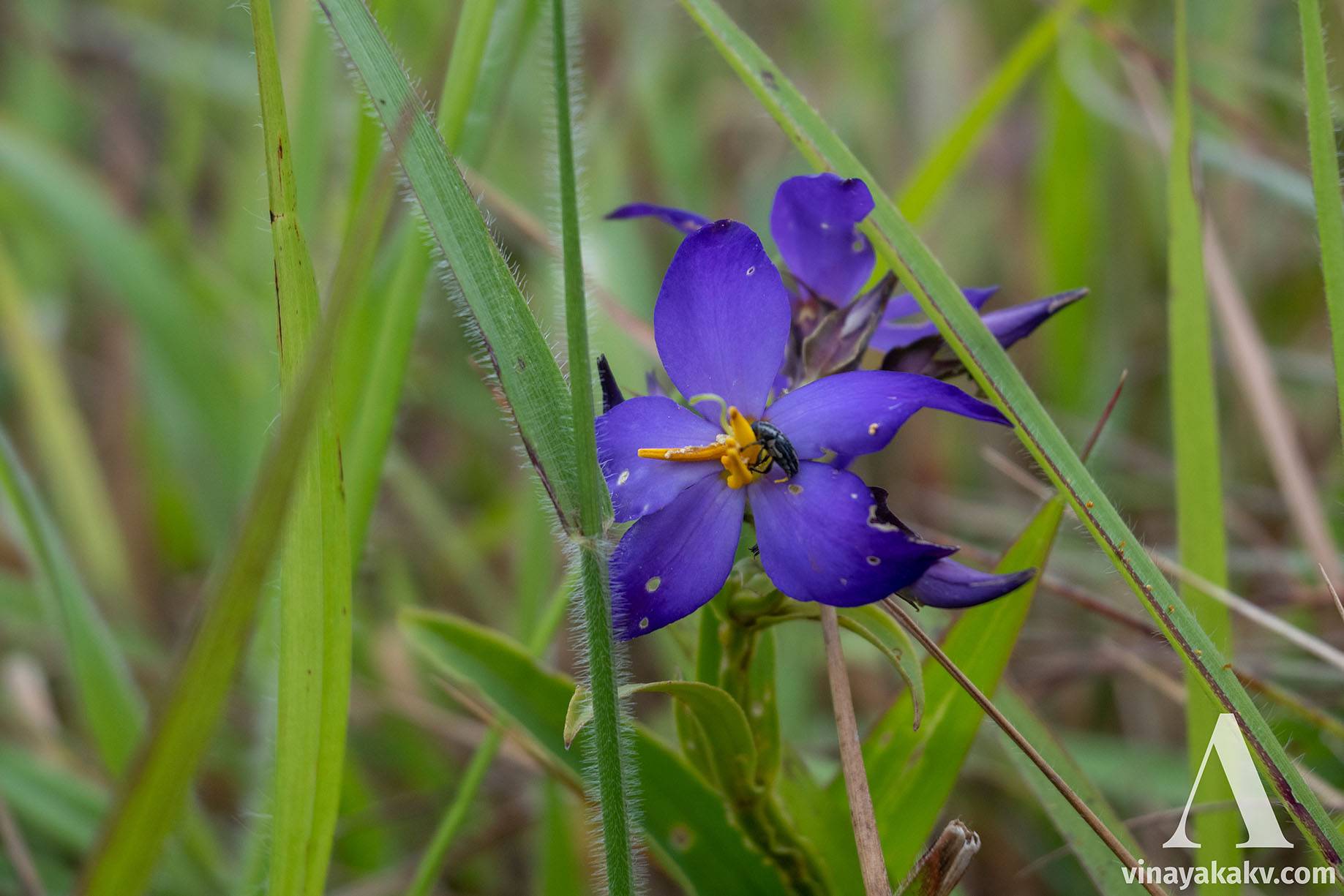
At the shola grasslands, apart from the grass, there were multiple other plants with beautiful flowers.
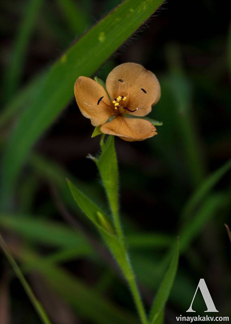
An attractive blue flower with its pollinator
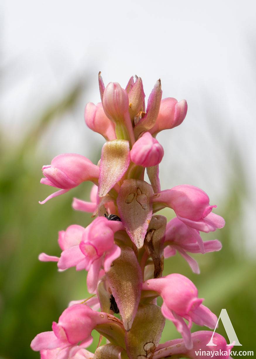
An orchid-like flower raceme (maybe it is an orchid, I don't know!)
Simple and beautiful
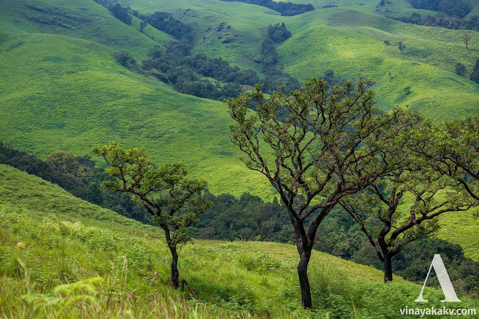
The trees outside the shola forest tend to be usually dwarf and display a twisted branching pattern due to the harsh weather.
Trees isolated from shola forest, notice that they are dwarf, and their branching is twisted and orientaion is defined by strong winds.
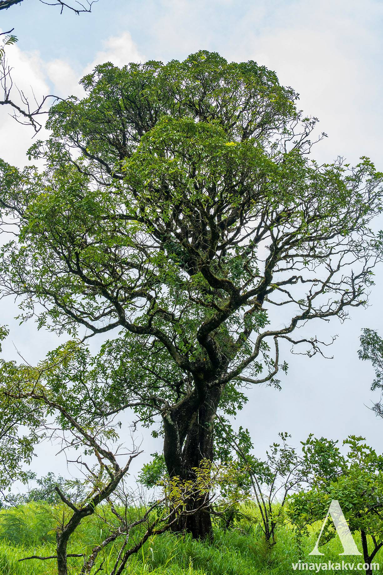
It is very rare to see a display of a big-isolated tree.
A medium size tree isolated from sholas
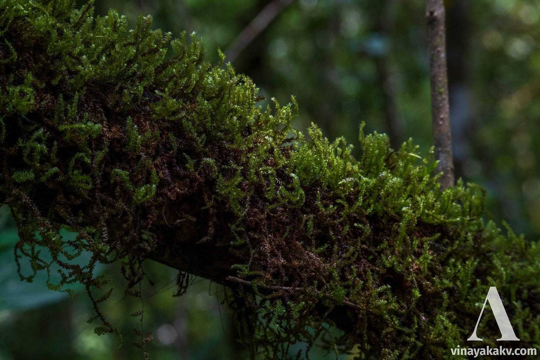
Since the weather there is misty and humid, we can see moss growth atop the branches of most trees.
A green moss atop of branch
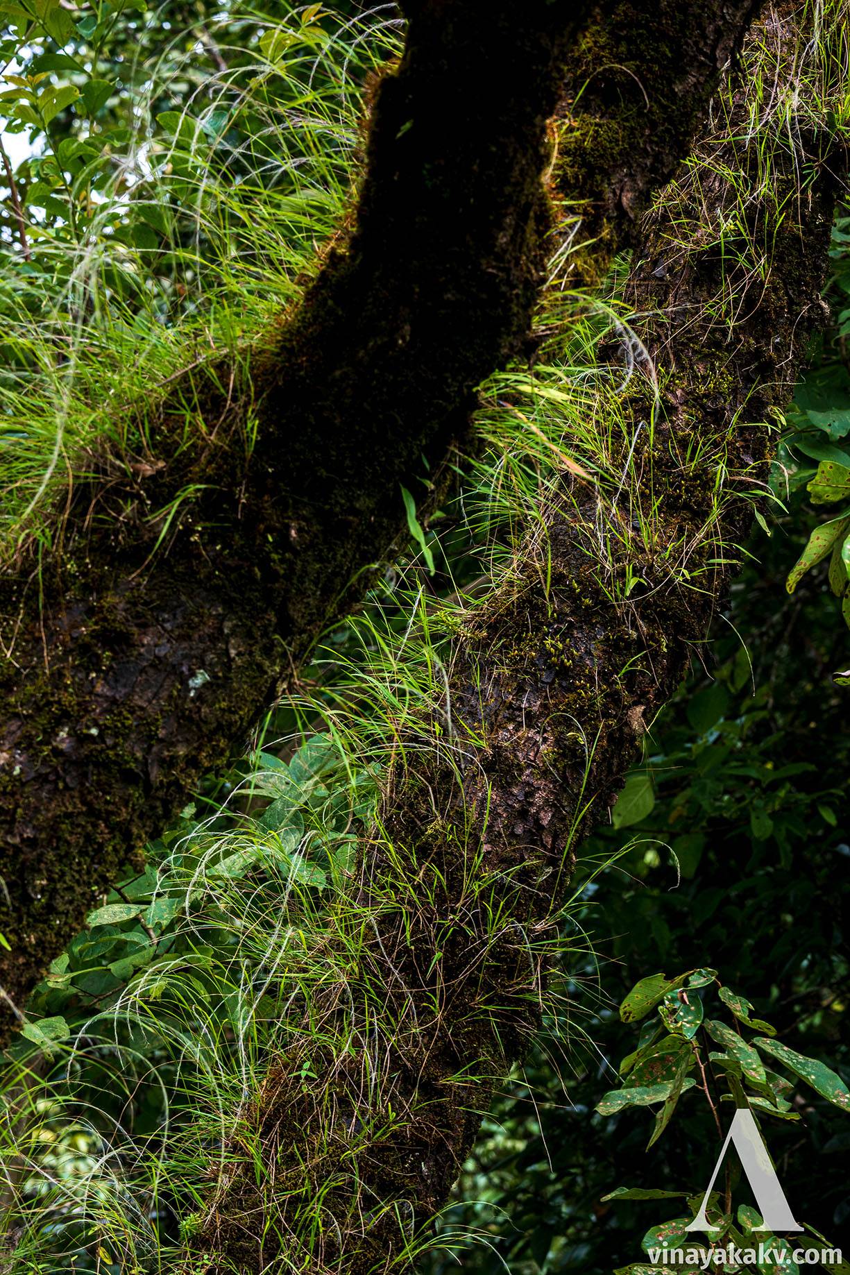
Sometimes, the moss provides a fertile environment enough for the shola grasses to start growing atop them! A perfect grassland-forest combination 😄.
Grass growing atop tree branches!
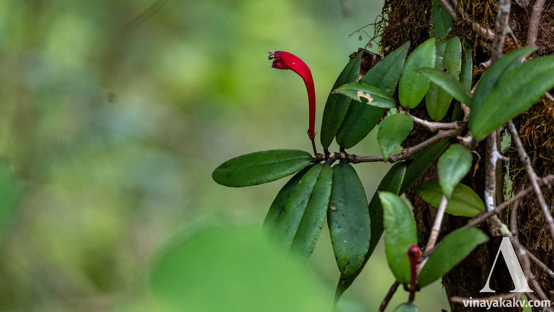
Not to be forgotten, the display of the orchids is not rare at all.
A beautiful orchid, with flower that looks like that of Loranthus
The finger-shaped leaves of Oberonia orchids are especially attracting
An Oberonia orchid
Due to climate change and increasing temperatures, the composition of shola forests seems to be slowly changing, allowing the forest to take over the grassland.
While this mountain is relatively new to trek groups and travelers and branded as untouched, there are already signs of human-made pollution. To begin with, we already see plastic litter thrown away at all the places, cleaning which seems not to be a concern of anyone, although we pay a hefty entrance fee. I must also add that it is the responsibility of every individual to keep the place clean.
We observe that the hiking trail is quite devoid of any grass, which is common where humans or cattle regularly walk. However, the scale here is quite large, which could potentially contribute to soil erosion.
I have observed lots of the hikers plucking off the beautiful flowers for a photoshoot, and then throwing them thereafter. Plants flower for a purpose — to propagate their kind; and plucking them off might have a long-term effect of decreasing their population, or at worst, threatening the endangered species.
Foremost, we have to learn to respect the place, and the culture of the place that we are visiting, even if they are against some of our own beliefs. Discarding the local names of places for a fancier, more marketable name feels like throwing local culture into the dust. I have observed some locals using this mountain as a money-making venture, with some not even visiting the place and experiencing it firsthand. That is quite disgusting to me — while money making by tourism is good and encouraged (although extortion is clearly not! 😅), one must consider the delicate ecology of the place, and not allow it to tip off the balance, for our own good and that of fellow species.
They tried to tame a horse. They exploited it for decades. Finally, the horse won.
CORONA - A timetravel into the past
What started as a US spy mission helps us to understand ecological changes today.
I write a new article usually once a month. Whenever I publish, you will get an email in your inbox.
